
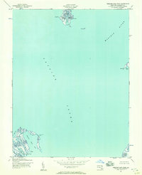
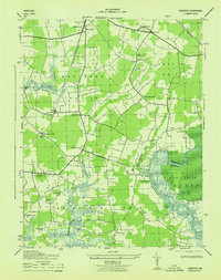
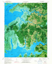
1942 Map of Kingston
USGS Topo · Published 1969About this map
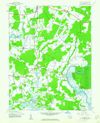
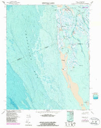
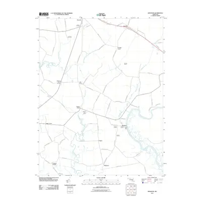
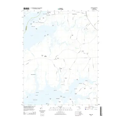
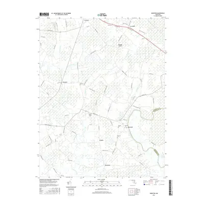
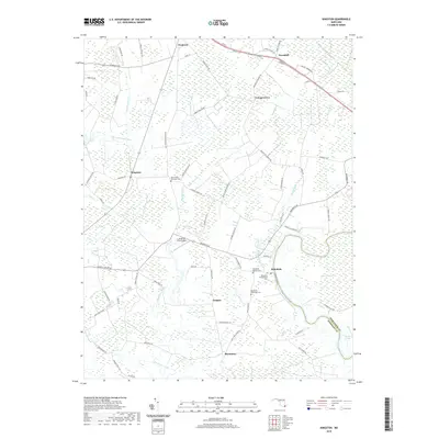
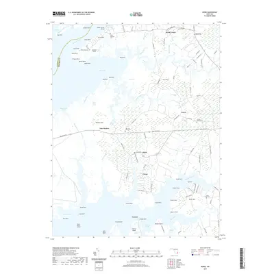
The Pocomoke River winds through the eastern edge of this coastal landscape, marking the boundary between Somerset and Worcester counties. This mid-century survey captures a rural network of small agricultural hubs and crossroads, anchored by the Pennsylvania railroad line that cuts through Westover and Kingston. The map reveals a high density of rural religious centers, including John Wesley Ch and Moores Chapel, which served the scattered families of the Tidewater. The terrain transitions from the dense, saturated grounds of the Cypress Swamp to tidal tributaries like Annemessex Creek. In the south, the village of Rehobeth sits near the river's bend, while smaller settlements like Hudson Corner and Pauls Corner define the interior road network. The map provides a detailed view of the drainage patterns and marshland edges that historically dictated the placement of Somerset County homes and farms.
Find a feature on this map
24 named features on this map. Tap any name to fly to it.
Don’t see what you’re looking for? This feature index may not catch every label — zoom into the map to look around manually.
Map Details
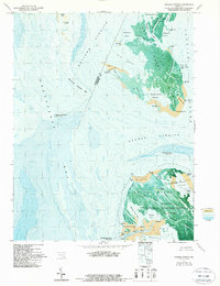
Editions of this 1942 Kingston Map
2 editions found
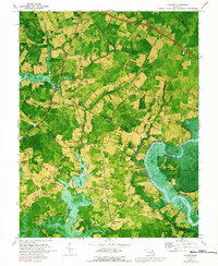
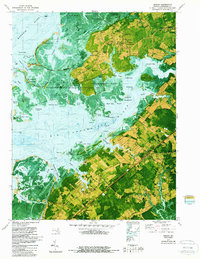
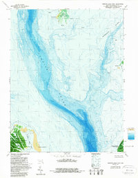
Historical Maps of Cottage Grove Through Time
49 maps found
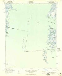
1942 Great Fox Island
Somerset County, MD
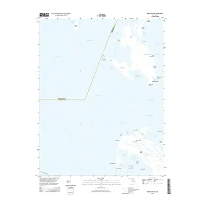
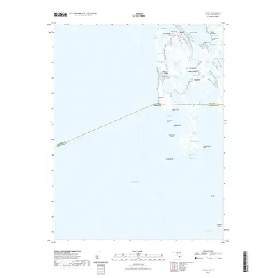
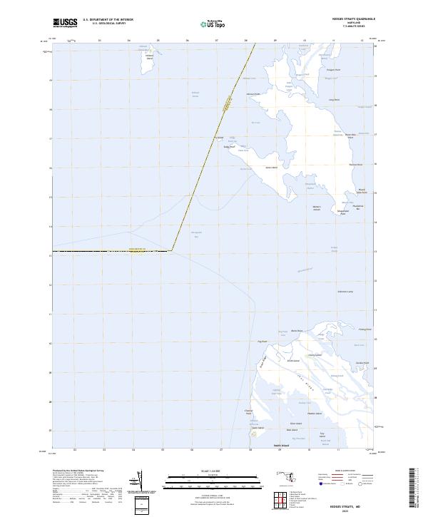
1942 Kedges Straits
Somerset County, MD
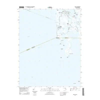
1942 Kingston
Somerset County, MD
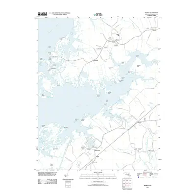
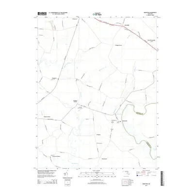
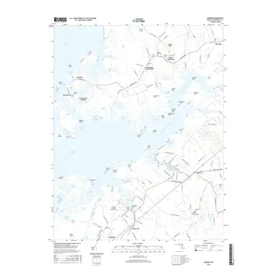
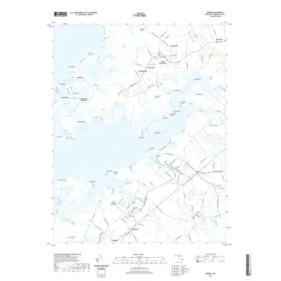
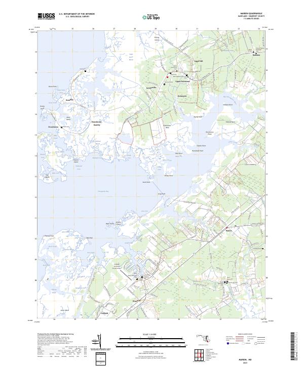
1942 Marion
Somerset County, MD

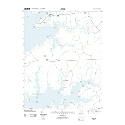
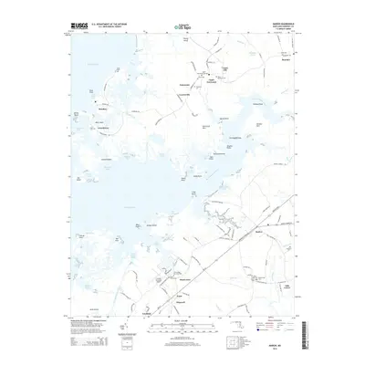
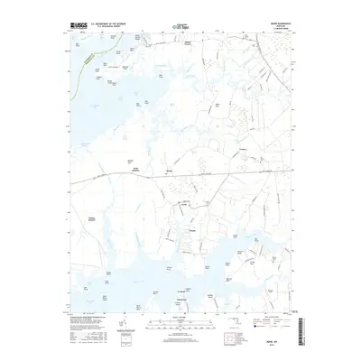
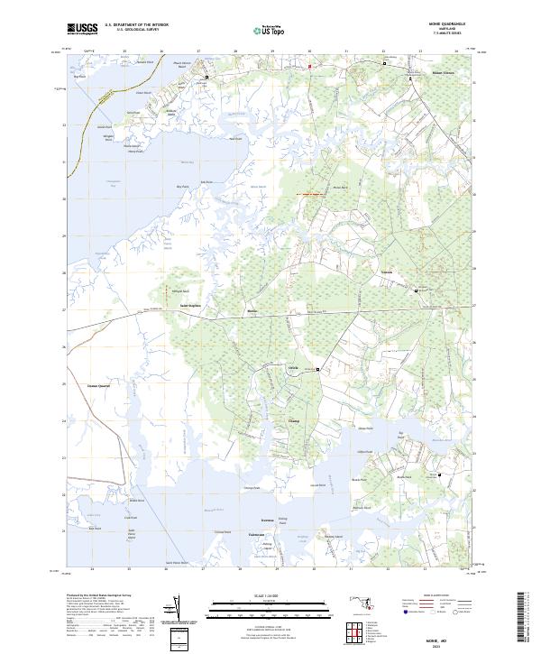
1942 Monie
Somerset County, MD
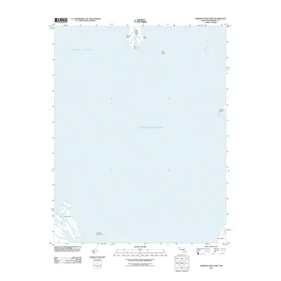
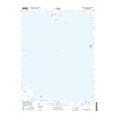
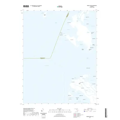
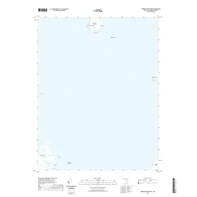
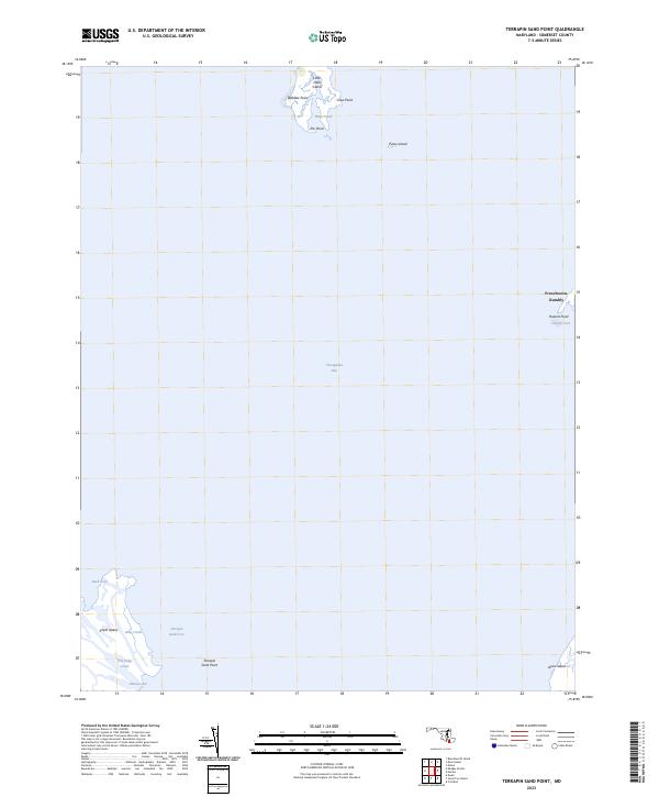
1942 Terrapin Sand Point
Somerset County, MD
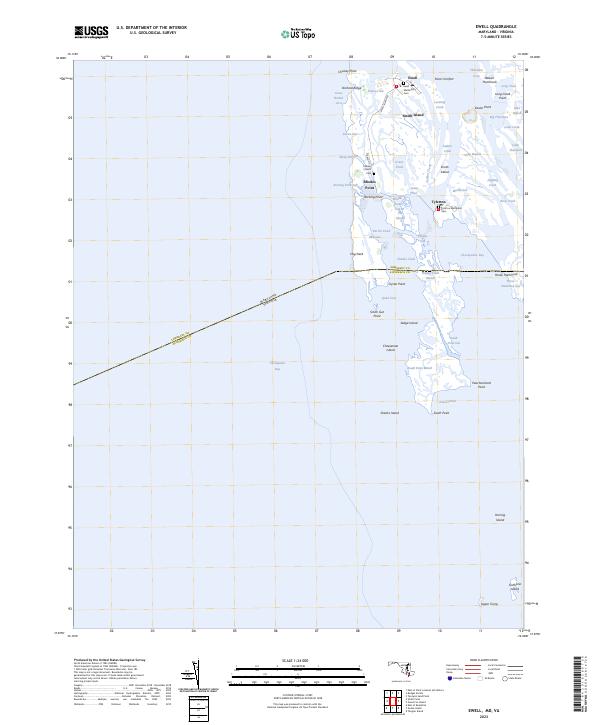
1943 Ewell
Somerset County, MD
1943 Great Fox Island
Somerset County, MD
1943 Kedges Straits
Somerset County, MD
1943 Kingston
Somerset County, MD
1943 Marion
Somerset County, MD
1943 Monie
Somerset County, MD
1943 Terrapin Sand Point
Somerset County, MD
1968 Ewell
Somerset County, MD
1972 Kedges Straits
Somerset County, MD
1972 Kingston
Somerset County, MD
1972 Marion
Somerset County, MD
1972 Monie
Somerset County, MD
1973 Terrapin Sand Point
Somerset County, MD
2011 Ewell
Somerset County, MD
2011 Kedges Straits
Somerset County, MD
2011 Kingston
Somerset County, MD
2011 Marion
Somerset County, MD
2011 Monie
Somerset County, MD
2011 Terrapin Sand Point
Somerset County, MD
2014 Ewell
Somerset County, MD
2014 Kedges Straits
Somerset County, MD
2014 Kingston
Somerset County, MD
2014 Marion
Somerset County, MD
2014 Monie
Somerset County, MD
2014 Terrapin Sand Point
Somerset County, MD
2016 Ewell
Somerset County, MD
2016 Kedges Straits
Somerset County, MD
2016 Kingston
Somerset County, MD
2016 Marion
Somerset County, MD
2016 Monie
Somerset County, MD
2017 Terrapin Sand Point
Somerset County, MD
2019 Ewell
Somerset County, MD
2019 Kedges Straits
Somerset County, MD
2019 Kingston
Somerset County, MD
2019 Marion
Somerset County, MD
2019 Monie
Somerset County, MD
2019 Terrapin Sand Point
Somerset County, MD
2023 Ewell
Somerset County, MD
2023 Kedges Straits
Somerset County, MD
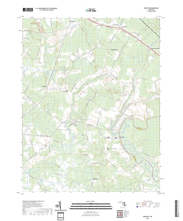
2023 Kingston
Somerset County, MD
2023 Marion
Somerset County, MD
2023 Monie
Somerset County, MD
2023 Terrapin Sand Point
Somerset County, MD