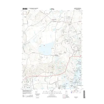
2015 Map of Kingston
USGS Topo · Published 2015About this map
The Univ of Rhode Island anchor this coastal landscape in Washington Co, where the historic village of Kingston sits just east of the critical rail junction at Kingston Station. The map illustrates the transition from the upland terrain of Kingston Hill down to the complex hydrology of the Great Swamp Goose Marsh and the massive expanse of Worden Pond. This inland water system feeds south toward the Atlantic, passing through small communities like Tuckertown and Perryville.
Find a feature on this map
129 named features on this map. Tap any name to fly to it.
Don’t see what you’re looking for? This feature index may not catch every label — zoom into the map to look around manually.
Map Details
Editions of this 2015 Kingston Map
This is the sole edition of this map. No revisions or reprints were ever made.
Other maps of this area

1889 · Charlestown
USGS Topo · 1:62,500

1889 · Newport
USGS Topo · 1:62,500

1890 · Narragansett Bay
USGS Topo · 1:62,500

1890 · Kent
USGS Topo · 1:62,500

1892 · Narragansett Bay
USGS Topo · 1:62,500

1894 · Kent
USGS Topo · 1:62,500

1894 · Newport
USGS Topo · 1:62,500

1904 · Newport
USGS Topo · 1:62,500

1919 · Charlestown
USGS Topo · 1:62,500

1919 · Narragansett Bay
USGS Topo · 1:62,500