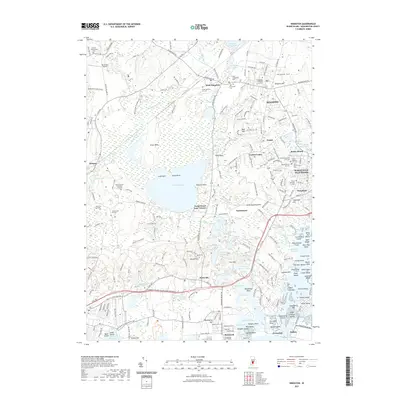
2021 Map of Kingston
USGS Topo · Published 2021About this map
The University of Rhode Island and the village of Kingston anchor the northern landscape of this South Kingstown survey. The region is defined by a complex network of wetlands and water bodies, centered on the expansive Worden Pond and the surrounding Great Swamp. Local history is preserved in numerous family-named burial grounds, such as the David Sherman Lot Cem and Sally Card Lot Cem, which dot the rural corridors.
Find a feature on this map
231 named features on this map. Tap any name to fly to it.
Don’t see what you’re looking for? This feature index may not catch every label — zoom into the map to look around manually.
Map Details
Editions of this 2021 Kingston Map
This is the sole edition of this map. No revisions or reprints were ever made.
Other maps of this area

1889 · Charlestown
USGS Topo · 1:62,500

1889 · Newport
USGS Topo · 1:62,500

1890 · Narragansett Bay
USGS Topo · 1:62,500

1890 · Kent
USGS Topo · 1:62,500

1892 · Narragansett Bay
USGS Topo · 1:62,500

1894 · Kent
USGS Topo · 1:62,500

1894 · Newport
USGS Topo · 1:62,500

1904 · Newport
USGS Topo · 1:62,500

1919 · Charlestown
USGS Topo · 1:62,500

1919 · Narragansett Bay
USGS Topo · 1:62,500