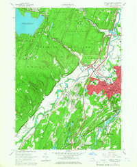
1964 Map of Kingston West
USGS Topo · Published 1966About this map
Catskill State Park dominates the northwestern highlands of this region, where the Ashokan Reservoir meets the rugged slopes of Morgan Hill. In the valley below, the city of Kingston serves as a dense urban core, its mid-1960s footprint defined by a mix of civic landmarks like the Municipal Stadium and County Hospital alongside older religious and commemorative sites, including Old Dutch Cem and St Marys Cem.
Find a feature on this map
88 named features on this map. Tap any name to fly to it.
Don’t see what you’re looking for? This feature index may not catch every label — zoom into the map to look around manually.
Map Details
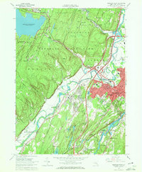
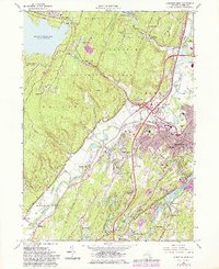
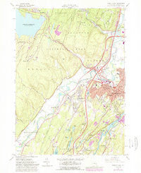
Editions of this 1964 Kingston West Map
4 editions found
Other maps of this area

1892 · Kaaterskill
USGS Topo · 1:62,500

1893 · Kaaterskill
USGS Topo · 1:62,500

1894 · Kaaterskill
USGS Topo · 1:62,500

1895 · Catskill
USGS Topo · 1:62,500

1898 · Rhinebeck
USGS Topo · 1:62,500

1899 · Kaaterskill
USGS Topo · 1:62,500

1901 · Rosendale
USGS Topo · 1:62,500

1903 · Rosendale
USGS Topo · 1:62,500

1903 · Kaaterskill
USGS Topo · 1:62,500

1934 · Rhinebeck
USGS Topo · 1:48,000