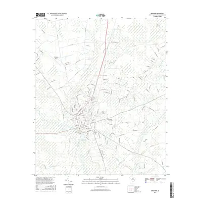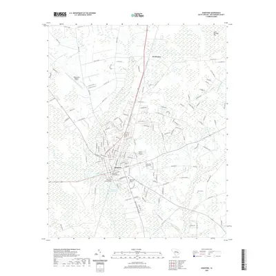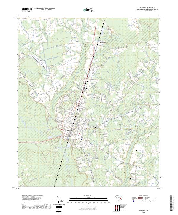
2024 Map of Kingstree
USGS Topo · Published 2024About this map
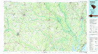
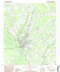
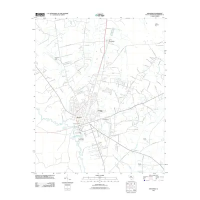
The Williamsburg County Courthouse serves as the focal point of Kingstree, a town defined by its proximity to the winding Black River. This modern survey reveals a landscape where traditional agricultural patterns meet institutional growth, including the Williamsburg Technical College and the Williamsburg Regional Airport to the northwest. The presence of the Kingstree Oxidation Pond and numerous low-lying areas like Flat Swamp and Whiteoak Swamp illustrate the hydraulic character of this part of Williamsburg County.
Find a feature on this map
134 named features on this map. Tap any name to fly to it.
Don’t see what you’re looking for? This feature index may not catch every label — zoom into the map to look around manually.
Map Details
Editions of this 2024 Kingstree Map
This is the sole edition of this map. No revisions or reprints were ever made.
Historical Maps of Kingstree Through Time
8 maps found