Loading...
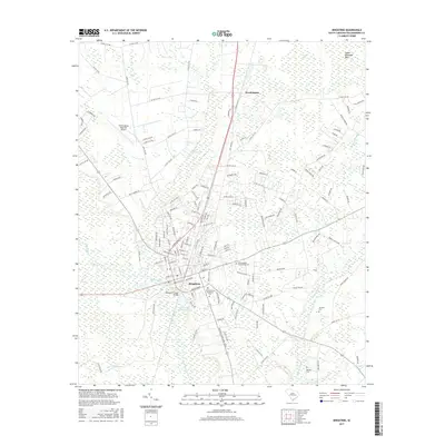
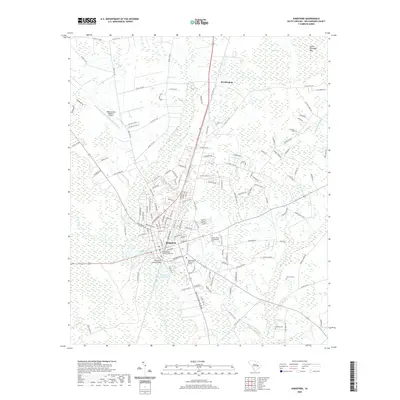
Loading map...1986 Map of Kingstree
USGS Topo · Published 1990About this map
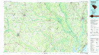
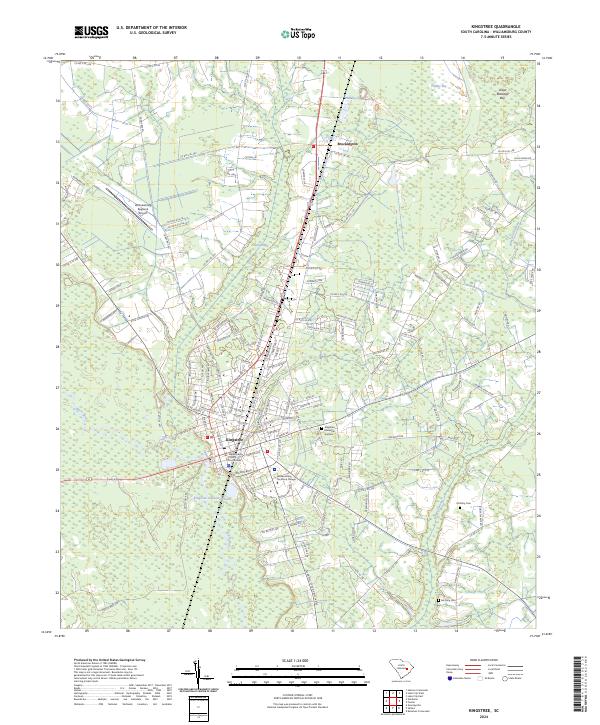
The Black River and Pee Dee River systems dominate this mid-1980s landscape of the South Carolina Lowcountry, winding through a complex network of wetlands and swamps such as Big Swamp and Gunter Island. This area, centered on the historic crossroads of Kingstree and Lake City, reflects a transition from the agricultural interior to the coastal marshes of Murrells Inlet. The presence of the Seaboard System Railroad highlights the ongoing importance of rail transport for inland towns like Salters Depot, Cades, and Greeleyville.
Find a feature on this map
153 named features on this map. Tap any name to fly to it.
Don’t see what you’re looking for? This feature index may not catch every label — zoom into the map to look around manually.
Map Details
Date Portrayed1986
Date Published1990
PublisherU.S. Geological Survey
Map TypeTopographic
Scale1:100,000
Physical Dimensions43.4 x 24.1 inches
Editions of this 1986 Kingstree Map
2 editions found

Historical Maps of Conway Through Time
8 maps found

Featured Locations
Source Details
SourceU.S. Geological Survey
CopyrightPublic Domain