
2016 Map of Kingwood
USGS Topo · Published 2016About this map
Kingwood serves as the focal point of this survey, situated on the high ground above the winding Cheat River. The landscape is characterized by a dense network of mountain streams like Morgan Run and Greens Run that carve through the local topography. A significant infrastructure transition is visible south of the town center, where the WV Northern Rail-Trail is shown under development, following the former rail corridor toward Irona and Borgman.
Find a feature on this map
151 named features on this map. Tap any name to fly to it.
Don’t see what you’re looking for? This feature index may not catch every label — zoom into the map to look around manually.
Map Details
Editions of this 2016 Kingwood Map
This is the sole edition of this map. No revisions or reprints were ever made.
Other maps of this area

1886 · St. George
USGS Topo · 1:125,000

1891 · St. George
USGS Topo · 1:125,000

1902 · Morgantown
USGS Topo · 1:62,500

1904 · Bruceton
USGS Topo · 1:62,500
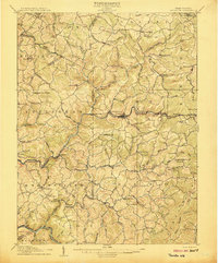
1907 · Thornton
USGS Topo · 1:62,500

1907 · Kingwood
USGS Topo · 1:62,500
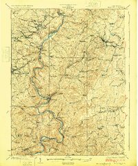
1925 · Kingwood
USGS Topo · 1:62,500

1925 · Morgantown
USGS Topo · 1:62,500
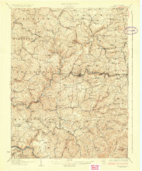
1926 · Thornton
USGS Topo · 1:62,500

1926 · Bruceton
USGS Topo · 1:62,500