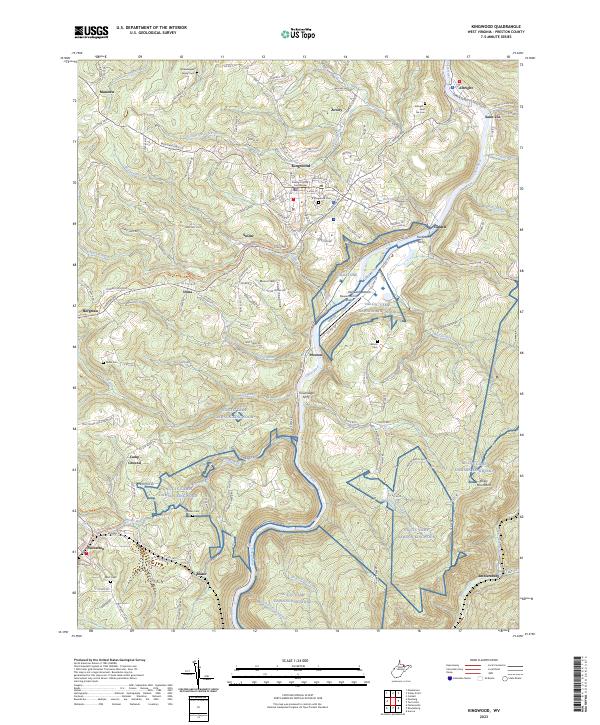
2023 Map of Kingwood
USGS Topo · Published 2023About this map
The Preston County Courthouse serves as the focal point of Kingwood, the seat of Preston County, where the town layout stretches from the high ground of the courthouse down toward the deep valley of the Cheat River. This modern survey documents the evolving landscape of the West Virginia highlands, highlighting the transition of former industrial corridors into recreational assets like the WV Northern Rail-Trail.
Find a feature on this map
156 named features on this map. Tap any name to fly to it.
Don’t see what you’re looking for? This feature index may not catch every label — zoom into the map to look around manually.
Map Details
Editions of this 2023 Kingwood Map
This is the sole edition of this map. No revisions or reprints were ever made.
Other maps of this area

1886 · St. George
USGS Topo · 1:125,000

1891 · St. George
USGS Topo · 1:125,000

1902 · Morgantown
USGS Topo · 1:62,500

1904 · Bruceton
USGS Topo · 1:62,500

1907 · Thornton
USGS Topo · 1:62,500

1907 · Kingwood
USGS Topo · 1:62,500

1925 · Kingwood
USGS Topo · 1:62,500

1925 · Morgantown
USGS Topo · 1:62,500

1926 · Thornton
USGS Topo · 1:62,500

1926 · Bruceton
USGS Topo · 1:62,500