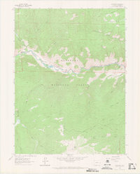
1962 Map of Kinikinik
USGS Topo · Published 1970About this map
The Cache La Poudre River cuts a central corridor through the northern Larimer County wilderness, serving as the primary anchor for local life in the early 1960s. Along its banks, the settlements of Kinikinik, Idylwilde, and the Arrowhead Lodge mark the sparse human footprint in this corner of the Roosevelt National Forest. The presence of the State Fish Hatchery and a Gaging Sta emphasizes the river's importance for resource management and research within the valley.
Find a feature on this map
32 named features on this map. Tap any name to fly to it.
Don’t see what you’re looking for? This feature index may not catch every label — zoom into the map to look around manually.
Map Details
Editions of this 1962 Kinikinik Map
5 editions found
Other maps of this area

1916 · Home
USGS Topo · 1:125,000

1920 · Home
USGS Topo · 1:125,000

1954 · Greeley
USGS Topo · 1:250,000

1957 · Greeley
USGS Topo · 1:250,000

1958 · Greeley
USGS Topo · 1:250,000

1961 · Greeley
USGS Topo · 1:250,000
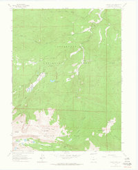
1962 · Pingree Park
USGS Topo · 1:24,000

1962 · Boston Peak
USGS Topo · 1:24,000
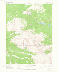
1962 · Comanche Peak
USGS Topo · 1:24,000

1962 · Kinikinik
USGS Topo · 1:24,000