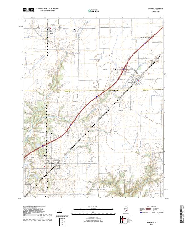
2024 Map of Kinmundy
USGS Topo · Published 2024About this map
The town of Kinmundy and its surroundings across the Fayette and Marion county line are characterized by a detailed grid of agricultural roads and the meandering courses of the Kaskaskia river system. This modern record details several significant rural burial grounds, including the Saint Peter Lutheran Cem near St. Peter and the Cockrell Cem further south. The landscape is defined by the North Fork East Fork Kaskaskia River and several smaller tributaries like Lone Grove Branch and Schneider Springs Branch that feed into Kinmundy Lake. In the northeastern corner, Farina appears as a key settlement, its streets like W Washington St and Locust St oriented to the local rail corridor. Large sections of land are noted as Farm Service Agency Interest of Illinois, highlighting the ongoing agricultural governance of this prairie region.
Find a feature on this map
93 named features on this map. Tap any name to fly to it.
Don’t see what you’re looking for? This feature index may not catch every label — zoom into the map to look around manually.
Map Details
Editions of this 2024 Kinmundy Map
This is the sole edition of this map. No revisions or reprints were ever made.
Historical Maps of Marion County Through Time
4 maps found