Loading...
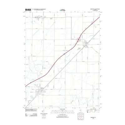
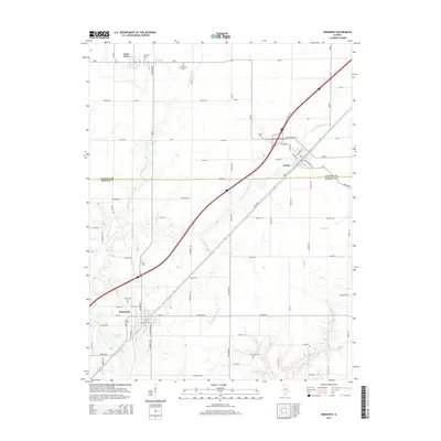
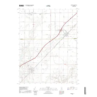
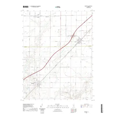
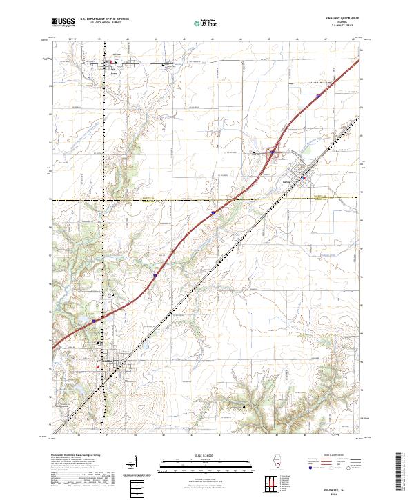
Loading map...1985 Map of Kinmundy
USGS Topo · Published 1985About this map
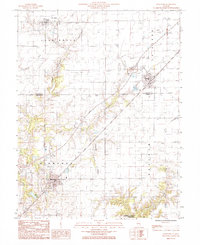
Kinmundy stands as a primary rail and transit hub in this mid-1980s landscape, situated where the Illinois Central Gulf railroad cuts a straight diagonal across the southern Illinois prairie. The map captures a moment of established rural infrastructure, marking the boundary between Fayette and Marion Counties and the agricultural townships of Lone Grove, La Clede, and Meacham.
Find a feature on this map
19 named features on this map. Tap any name to fly to it.
Don’t see what you’re looking for? This feature index may not catch every label — zoom into the map to look around manually.
Map Details
Date Portrayed1985
Date Published1985
PublisherU.S. Geological Survey
Map TypeTopographic
Scale1:24,000
Physical Dimensions21.9 x 26.9 inches
Editions of this 1985 Kinmundy Map
This is the sole edition of this map. No revisions or reprints were ever made.
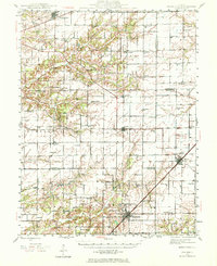
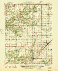
Historical Maps of Kinmundy Through Time
8 maps found
Featured Locations
Source Details
SourceU.S. Geological Survey
CopyrightPublic Domain