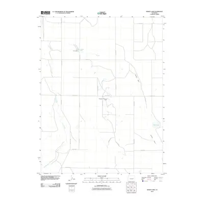
2010 Map of Kinney Lake
USGS Topo · Published 2010About this map
Buffalo Basin characterizes the geography of this Lincoln County landscape, where the prairie is defined by intermittent water sources and ranch infrastructure. Agricultural development is evident through water management features such as the L G Kinney Dam, which contains Kinney Lake, and the Clingingsmith Number 2 Dam to the south. These structures, along with Lofdahl Springs and Nelson Lake, represent the critical importance of reliable water in the arid high plains. A geometric network of rural routes, including County Rd 35 and County Rd 2G, divides the terrain into vast sections typical of the American West. The drainage of Long Branch meanders across the western portion of the sheet, providing a natural contrast to the straight-line precision of the county road system and property divisions.
Find a feature on this map
20 named features on this map. Tap any name to fly to it.
Don’t see what you’re looking for? This feature index may not catch every label — zoom into the map to look around manually.
Map Details
Editions of this 2010 Kinney Lake Map
This is the sole edition of this map. No revisions or reprints were ever made.
Other maps of this area

1889 · Sanborn
USGS Topo · 1:125,000

1891 · Sanborn
USGS Topo · 1:125,000

1891 · Arroyo
USGS Topo · 1:125,000

1891 · Limon
USGS Topo · 1:125,000

1892 · Limon
USGS Topo · 1:125,000

1893 · Arroyo
USGS Topo · 1:125,000

1893 · Sanborn
USGS Topo · 1:125,000

1954 · Limon
USGS Topo · 1:250,000

1954 · Lamar
USGS Topo · 1:250,000

1957 · Limon
USGS Topo · 1:250,000