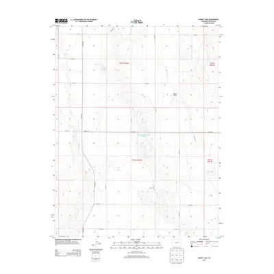
2013 Map of Kinney Lake
USGS Topo · Published 2013About this map
Kinney Lake and several other vital water sources define this high plains landscape of Lincoln County. This portion of the Eastern Plains is dominated by large-scale ranching and land management, where seasonal drainages like Long Br and the broad depressions of Buffalo Basin dictated the placement of early range roads and boundaries. The map documents a sophisticated network of county roads, such as CO Road 109 and CO Road 34, which follow the Public Land Survey System section lines. Significant water storage and natural features are captured here, including the Clingingsmith Number 2 Reservoir, Nelson Lake, and Lof dahl Springs. These features illustrate the essential nature of water rights and irrigation in this semi-arid environment, serving as landmarks for local history researchers and genealogists tracing family landholdings in the T012S and T013S townships.
Find a feature on this map
25 named features on this map. Tap any name to fly to it.
Don’t see what you’re looking for? This feature index may not catch every label — zoom into the map to look around manually.
Map Details
Editions of this 2013 Kinney Lake Map
This is the sole edition of this map. No revisions or reprints were ever made.
Other maps of this area

1889 · Sanborn
USGS Topo · 1:125,000

1891 · Sanborn
USGS Topo · 1:125,000

1891 · Arroyo
USGS Topo · 1:125,000

1891 · Limon
USGS Topo · 1:125,000

1892 · Limon
USGS Topo · 1:125,000

1893 · Arroyo
USGS Topo · 1:125,000

1893 · Sanborn
USGS Topo · 1:125,000

1954 · Limon
USGS Topo · 1:250,000

1954 · Lamar
USGS Topo · 1:250,000

1957 · Limon
USGS Topo · 1:250,000