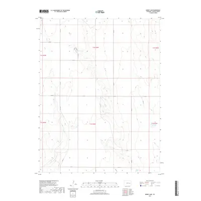
2019 Map of Kinney Lake
USGS Topo · Published 2019About this map
Kinney Lake and the drainage of Long Br define this high plains landscape in Lincoln County. The map captures a section of the Colorado interior where water sources like Nelson Lake and Lofdahl Springs were historically critical for ranching operations. The terrain is structured by a geometric grid of section lines and county roads, including Co Hwy 109 and Co Rd 2G, which facilitate travel across the wide-open ranch lands. This survey reflects the modern infrastructure of the 21st-century cattle country, showing how water features and graded roads like Co Rd 35 and Co Rd 2D continue to dictate the pattern of land use and navigation in this rural region.
Find a feature on this map
24 named features on this map. Tap any name to fly to it.
Don’t see what you’re looking for? This feature index may not catch every label — zoom into the map to look around manually.
Map Details
Editions of this 2019 Kinney Lake Map
This is the sole edition of this map. No revisions or reprints were ever made.
Other maps of this area

1889 · Sanborn
USGS Topo · 1:125,000

1891 · Sanborn
USGS Topo · 1:125,000

1891 · Arroyo
USGS Topo · 1:125,000

1891 · Limon
USGS Topo · 1:125,000

1892 · Limon
USGS Topo · 1:125,000

1893 · Arroyo
USGS Topo · 1:125,000

1893 · Sanborn
USGS Topo · 1:125,000

1954 · Limon
USGS Topo · 1:250,000

1954 · Lamar
USGS Topo · 1:250,000

1957 · Limon
USGS Topo · 1:250,000