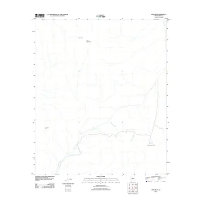
2011 Map of Kino Peak
USGS Topo · Published 2011About this map
Kino Peak stands as the central landmark in this arid portion of Pima County, anchored by the Bates Mountains and the Cipriano Hills. The landscape is defined by its drainage patterns, most notably the seasonal courses of Aguajita Wash and Cherioni Wash. This map documents a sparsely populated desert environment where water sources like Dripping Springs were critical to historical travel and survival. The network of primitive roads and 4WD tracks converges at Puerto Blanco Pass, indicating the primary route through the mountainous terrain during the early 21st century. The sparse distribution of named points highlights the isolation of this corner of Arizona, preserved here in high-resolution topography.
Find a feature on this map
7 named features on this map. Tap any name to fly to it.
Don’t see what you’re looking for? This feature index may not catch every label — zoom into the map to look around manually.
Map Details
Editions of this 2011 Kino Peak Map
This is the sole edition of this map. No revisions or reprints were ever made.
Other maps of this area

1953 · Ajo
USGS Topo · 1:250,000

1954 · Sonoyta
USGS Topo · 1:250,000

1957 · Ajo
USGS Topo · 1:250,000

1958 · Ajo
USGS Topo · 1:250,000

1962 · Ajo
USGS Topo · 1:250,000

1963 · Ajo
USGS Topo · 1:250,000

1963 · Lukeville
USGS Topo · 1:62,500

1963 · Quitobaquito Springs
USGS Topo · 1:62,500

1963 · Kino Peak
USGS Topo · 1:62,500

1963 · Lukeville
USGS Topo · 1:250,000