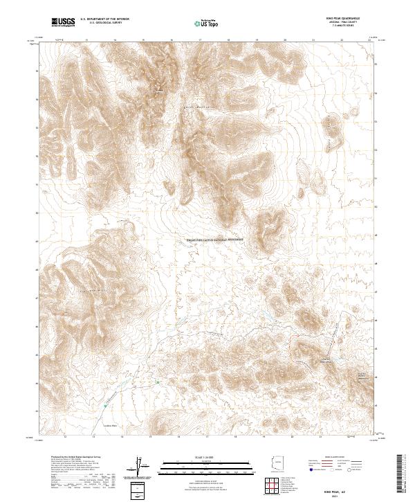
2021 Map of Kino Peak
USGS Topo · Published 2021About this map
Organ Pipe Cactus National Monument dominates this landscape, preserving a desert environment where the sharp relief of the Bates Mountains and Cipriano Hills rise above the surrounding basin floor. At the center of this mountain system stands Kino Peak, a prominent landmark visible from the expansive Valley of the Ajo to the east and the La Abra Plain to the south.
Find a feature on this map
17 named features on this map. Tap any name to fly to it.
Don’t see what you’re looking for? This feature index may not catch every label — zoom into the map to look around manually.
Map Details
Editions of this 2021 Kino Peak Map
This is the sole edition of this map. No revisions or reprints were ever made.
Other maps of this area

1953 · Ajo
USGS Topo · 1:250,000

1954 · Sonoyta
USGS Topo · 1:250,000

1957 · Ajo
USGS Topo · 1:250,000

1958 · Ajo
USGS Topo · 1:250,000

1962 · Ajo
USGS Topo · 1:250,000

1963 · Ajo
USGS Topo · 1:250,000

1963 · Lukeville
USGS Topo · 1:62,500

1963 · Quitobaquito Springs
USGS Topo · 1:62,500

1963 · Kino Peak
USGS Topo · 1:62,500

1963 · Lukeville
USGS Topo · 1:250,000