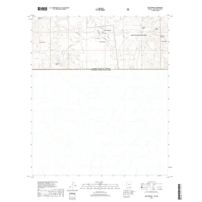
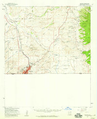
2018 Map of Kino Springs
USGS Topo · Published 2018About this map
The International Boundary bisects this southern Arizona landscape, where the high-desert terrain of the Patagonia Mountains meets the drainage of the Santa Cruz River. Modern residential development at Kino Springs is defined by a network of suburban streets such as Wranglers Way and W Sagebrush Rd, contrasting sharply with the primitive backcountry of the Coronado National Forest. This borderlands geography is deeply shaped by water management, evidenced by numerous named stock tanks like Chamberlain Tank, Granger Tank, and Piedra Gosa Tank Number Two scattered throughout the rugged draws. Historic routes like El Camino Real traverse the landscape near Brickwood Canyon, reflecting the long-standing transit corridors of the Santa Cruz Valley.
Find a feature on this map
25 named features on this map. Tap any name to fly to it.
Don’t see what you’re looking for? This feature index may not catch every label — zoom into the map to look around manually.
Map Details
Editions of this 2018 Kino Springs Map
This is the sole edition of this map. No revisions or reprints were ever made.
Other maps of this area

1905 · Nogales
USGS Topo · 1:125,000

1932 · Lochiel
USGS Topo · 1:62,500

1933 · Calabasas
USGS Topo · 1:62,500

1948 · Harshaw
USGS Topo · 1:24,000
1948 · Duquesne
USGS Topo · 1:24,000
1948 · Lochiel
USGS Topo · 1:62,500

1956 · Nogales
USGS Topo · 1:250,000

1958 · Nogales
USGS Topo · 1:250,000
1958 · Duquesne
USGS Topo · 1:24,000
1958 · Nogales
USGS Topo · 1:62,500