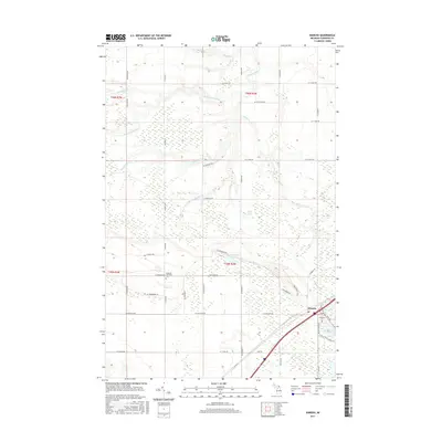
2017 Map of Kinross
USGS Topo · Published 2017About this map
Kinross and the southeastern portion of Rudyard Township occupy this part of the Upper Peninsula, characterized by a complex network of wetlands and small glacial lakes. The settlement of Kinross sits near Mud Lake, Kinross Lake, and Lakeview Cem, while further west, the Rudyard Cem is located near the intersection of W Thompson Rd and S Tilson Rd.
Find a feature on this map
49 named features on this map. Tap any name to fly to it.
Don’t see what you’re looking for? This feature index may not catch every label — zoom into the map to look around manually.
Map Details
Editions of this 2017 Kinross Map
This is the sole edition of this map. No revisions or reprints were ever made.
Other maps of this area

1913 · Sault Sainte Marie
USGS Topo · 1:62,500

1941 · Sault Sainte Marie
USGS Topo · 1:63,360

1941 · Brimley
USGS Topo · 1:63,360

1951 · Shallows
USGS Topo · 1:24,000

1951 · Dollar Settlement
USGS Topo · 1:24,000

1951 · Raco
USGS Topo · 1:24,000

1951 · Kinross
USGS Topo · 1:24,000

1951 · Dafter
USGS Topo · 1:24,000

1951 · Brimley
USGS Topo · 1:62,500

1951 · Sault Ste. Marie
USGS Topo · 1:62,500