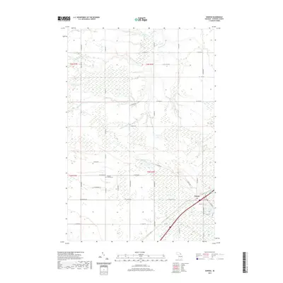
2019 Map of Kinross
USGS Topo · Published 2019About this map
The Waiska River and its various branches, including the W Br Waiska River and S Br Waiska River, define the hydrology of this Chippewa County landscape. The settlement of Kinross serves as the primary population center, situated near the southeastern portion of the map where the terrain transitions toward Kinross Lake and Mud Lake. This 2019 survey shows a heavily gridded road network, likely reflecting the area's agricultural and logging history, with major routes like Co Rd 63 and W M-80 providing modern access.
Find a feature on this map
49 named features on this map. Tap any name to fly to it.
Don’t see what you’re looking for? This feature index may not catch every label — zoom into the map to look around manually.
Map Details
Editions of this 2019 Kinross Map
This is the sole edition of this map. No revisions or reprints were ever made.
Other maps of this area

1913 · Sault Sainte Marie
USGS Topo · 1:62,500

1941 · Sault Sainte Marie
USGS Topo · 1:63,360

1941 · Brimley
USGS Topo · 1:63,360

1951 · Shallows
USGS Topo · 1:24,000

1951 · Dollar Settlement
USGS Topo · 1:24,000

1951 · Raco
USGS Topo · 1:24,000

1951 · Kinross
USGS Topo · 1:24,000

1951 · Dafter
USGS Topo · 1:24,000

1951 · Brimley
USGS Topo · 1:62,500

1951 · Sault Ste. Marie
USGS Topo · 1:62,500