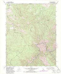
1992 Map of Kinsley
USGS Topo · Published 1995About this map
The Merced Wild and Scenic River carves through this landscape at the boundary between the Stanislaus National Forest and the Sierra National Forest. This 1990s-era documentation highlights a region defined by its rugged topography and historical ranching, featuring the McCauley Ranch (Old Stage Station) and Jenkins Ranch. The map reveals the transitional character of the area, where older mining operations like the Garibaldi Mine (Abandoned) give way to modern recreational and conservation interests, evidenced by the Geological Exhibit and the Ferguson Camp along the river.
Find a feature on this map
40 named features on this map. Tap any name to fly to it.
Don’t see what you’re looking for? This feature index may not catch every label — zoom into the map to look around manually.
Map Details
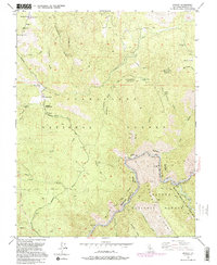
Editions of this 1992 Kinsley Map
2 editions found
Other maps of this area

1893 · Sonora
USGS Topo · 1:125,000

1896 · Sonora
USGS Topo · 1:125,000

1897 · Sonora
USGS Topo · 1:125,000

1897 · Yosemite
USGS Topo · 1:125,000

1898 · Sonora
USGS Topo · 1:125,000

1900 · Yosemite
USGS Topo · 1:125,000

1903 · Yosemite
USGS Topo · 1:125,000

1909 · Yosemite
USGS Topo · 1:125,000

1947 · El Portal
USGS Topo · 1:24,000

1947 · San Jose
USGS Topo · 1:250,000