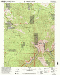
2001 Map of Kinsley
USGS Topo · Published 2004About this map
The Merced River carves through the landscape of the Stanislaus National Forest and Sierra National Forest boundary in this survey, showcasing the rugged intersection of water and industry. High-elevation points like Big Grizzly Mountain and McCauley Hill overlook a network of canyons defined by Bull Creek and Sweetwater Creek. This terrain supported both ranching and extraction at the turn of the 21st century, as evidenced by the McCauley Ranch in the north and the Grizzly Quarry to the east. Transportation through this steep geography relied on historic corridors such as Ponderosa Way and Bull Creek Road, which provided access to the settlement at Kinsley. Small mining operations are scattered across the slopes, with numerous Prospect labels and Tailings appearing near Miller Hill and Soapstone Ridge, reflecting the area's long-standing connection to resource extraction and forest management.
Find a feature on this map
43 named features on this map. Tap any name to fly to it.
Don’t see what you’re looking for? This feature index may not catch every label — zoom into the map to look around manually.
Map Details
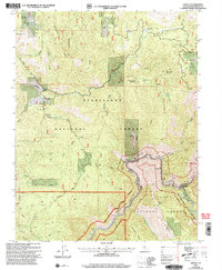
Editions of this 2001 Kinsley Map
2 editions found
Other maps of this area

1893 · Sonora
USGS Topo · 1:125,000

1896 · Sonora
USGS Topo · 1:125,000

1897 · Sonora
USGS Topo · 1:125,000

1897 · Yosemite
USGS Topo · 1:125,000

1898 · Sonora
USGS Topo · 1:125,000

1900 · Yosemite
USGS Topo · 1:125,000

1903 · Yosemite
USGS Topo · 1:125,000

1909 · Yosemite
USGS Topo · 1:125,000

1947 · El Portal
USGS Topo · 1:24,000

1947 · San Jose
USGS Topo · 1:250,000