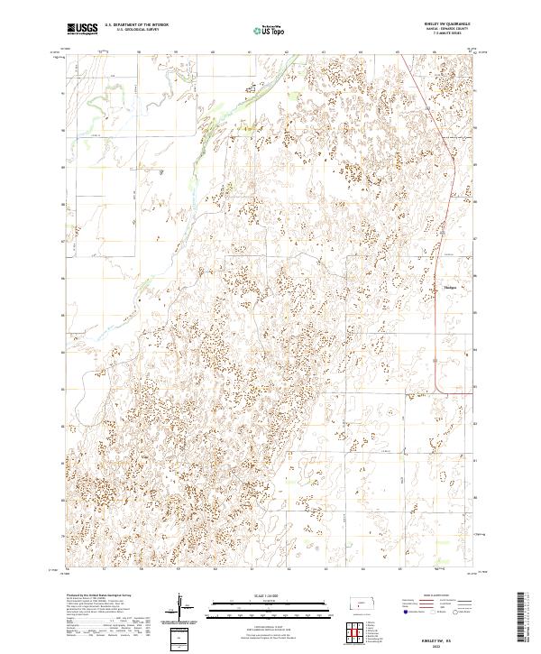
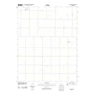
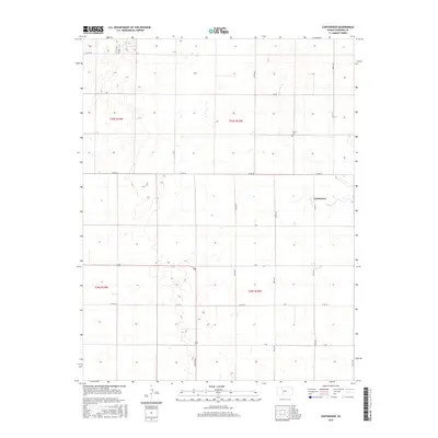
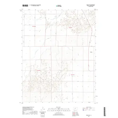
2022 Map of Kinsley SW
USGS Topo · Published 2022About this map
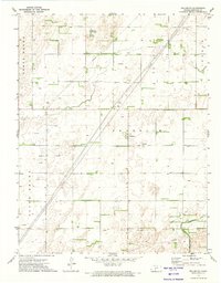
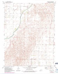
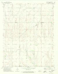
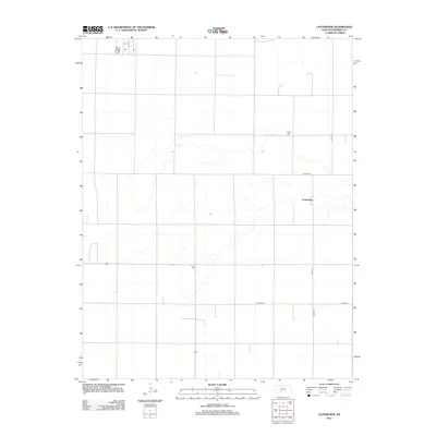
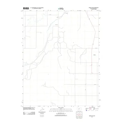
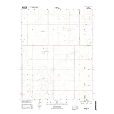
The Arkansas River carves a winding path through this western Kansas landscape, defining the agricultural and topographical layout of the region. Located in Edwards County, the area is characterized by the intersection of rural section lines and natural watercourses, with Coon Cr draining the northern sections. The small settlement of Hodges stands as a focal point in the eastern portion of the map, situated along a primary north-south corridor. The land is organized by an extensive grid of county roads, including Co Rd 9 and Co Rd 15, which facilitate the movement of goods and people across the plains. This 2022 survey illustrates the enduring patterns of Kansas land management, where the straight lines of township and range boundaries like t26s r20w meet the organic curves of the river valley.
Find a feature on this map
18 named features on this map. Tap any name to fly to it.
Don’t see what you’re looking for? This feature index may not catch every label — zoom into the map to look around manually.
Map Details
Editions of this 2022 Kinsley SW Map
This is the sole edition of this map. No revisions or reprints were ever made.
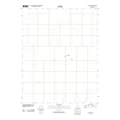
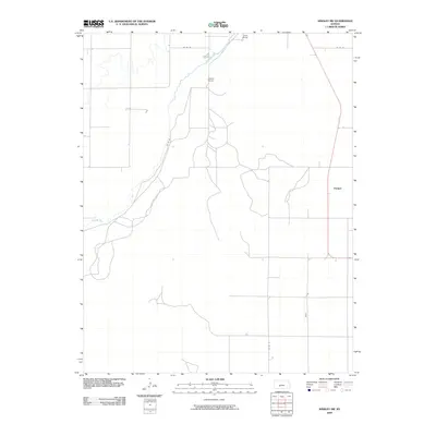
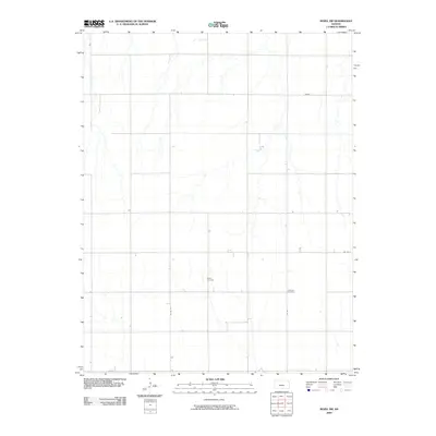
Historical Maps of Hodges Through Time
36 maps found
1971 Trousdale
Edwards County, KS
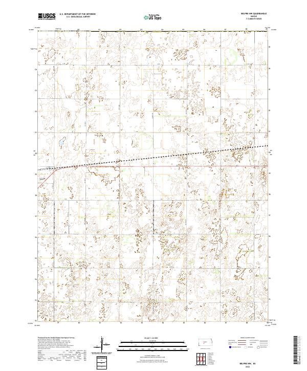
1972 Belpre NW
Edwards County, KS
1972 Centerview
Edwards County, KS
1972 Fellsburg
Edwards County, KS
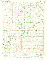
1972 Kinsley SW
Edwards County, KS
1972 Rozel SW
Edwards County, KS
2009 Belpre NW
Edwards County, KS
2009 Centerview
Edwards County, KS
2009 Fellsburg
Edwards County, KS
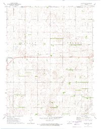
2009 Kinsley SW
Edwards County, KS
2009 Rozel SW
Edwards County, KS
2009 Trousdale
Edwards County, KS
2012 Belpre NW
Edwards County, KS
2012 Centerview
Edwards County, KS
2012 Fellsburg
Edwards County, KS
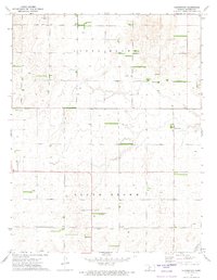
2012 Kinsley SW
Edwards County, KS
2012 Rozel SW
Edwards County, KS
2012 Trousdale
Edwards County, KS
2015 Belpre NW
Edwards County, KS
2015 Centerview
Edwards County, KS
2015 Fellsburg
Edwards County, KS
2015 Kinsley SW
Edwards County, KS
2015 Rozel SW
Edwards County, KS
2015 Trousdale
Edwards County, KS
2018 Belpre NW
Edwards County, KS
2018 Centerview
Edwards County, KS
2018 Fellsburg
Edwards County, KS
2018 Kinsley SW
Edwards County, KS
2018 Rozel SW
Edwards County, KS
2018 Trousdale
Edwards County, KS
2022 Belpre NW
Edwards County, KS
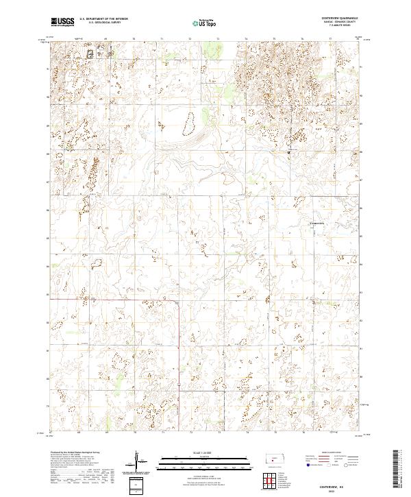
2022 Centerview
Edwards County, KS
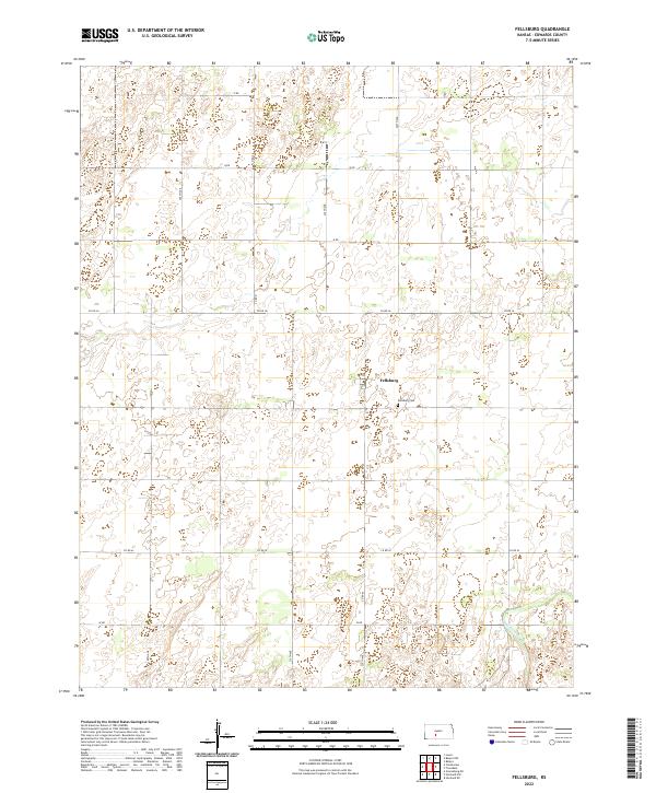
2022 Fellsburg
Edwards County, KS
2022 Kinsley SW
Edwards County, KS
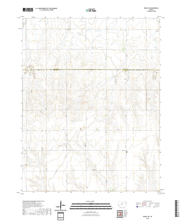
2022 Rozel SW
Edwards County, KS
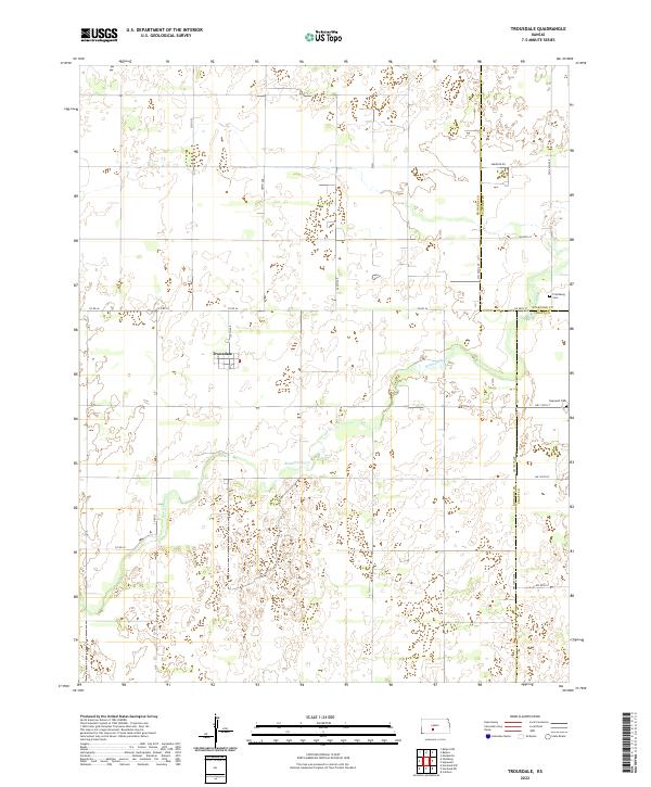
2022 Trousdale
Edwards County, KS