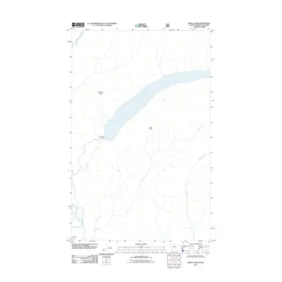
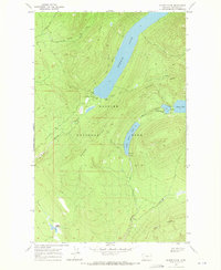
2011 Map of Kintla Lake
USGS Topo · Published 2011About this map
Kintla Lake dominates this glacial landscape on the border of Montana and British Columbia, its long basin flanked by the high elevations of Starvation Ridge and Parke Ridge. The 2011 survey by the U.S. Geological Survey documents a remote backcountry environment where recreation is concentrated at the Kintla Lake Campground at the southwestern end of the water. The drainage network is particularly detailed, showing the convergence of Kintla Creek and Ford Creek as they flow toward the North Fork Flathead River. This area serves as a critical corridor for the North Fork Flathead River, with the Ford River Access providing a rare point of contact for river travel near the international boundary marked by Kishenehn Creek.
Find a feature on this map
10 named features on this map. Tap any name to fly to it.
Don’t see what you’re looking for? This feature index may not catch every label — zoom into the map to look around manually.
Map Details
Editions of this 2011 Kintla Lake Map
This is the sole edition of this map. No revisions or reprints were ever made.
Other maps of this area

1906 · Kintla Lakes
USGS Topo · 1:125,000

1938 · Kintla Lakes
USGS Topo · 1:125,000

1957 · Kalispell
USGS Topo · 1:250,000

1960 · Kalispell
USGS Topo · 1:250,000

1961 · Kalispell
USGS Topo · 1:250,000

1966 · Kintla Lake
USGS Topo · 1:24,000
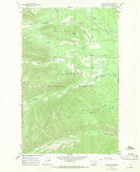
1966 · Whale Buttes
USGS Topo · 1:24,000
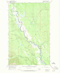
1966 · Polebridge
USGS Topo · 1:24,000
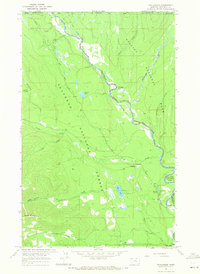
1966 · Trailcreek
USGS Topo · 1:24,000
1968 · Quartz Ridge
USGS Topo · 1:24,000