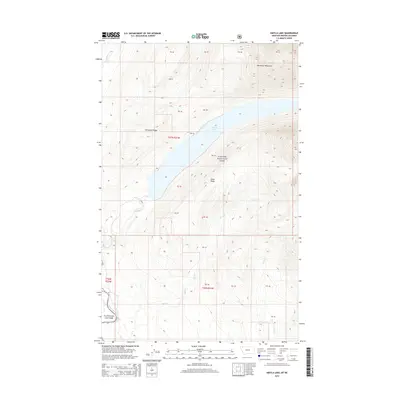
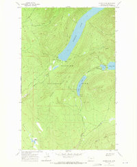
2014 Map of Kintla Lake
USGS Topo · Published 2014About this map
Glacier National Park and the Flathead Nat For meet along this remote stretch of the Montana-British Columbia border. The landscape is dominated by the massive basin of Kintla Lake, which sits tucked between Starvation Ridge to the west and Parke Ridge to the east. This 2014 survey documents a complex hydrological network where the North Fork Flathead River serves as a primary drainage for high-altitude tributaries. Water flows from the Boundary Mountains down through steep drainages including Kishenehn Creek, Kintla Cr, and Ford Cr. The map's detail reveals the intersection of strictly protected wilderness and national forest lands, providing a clear look at the topography of the Continental Divide's western slopes before they transition into the lower river valleys.
Find a feature on this map
26 named features on this map. Tap any name to fly to it.
Don’t see what you’re looking for? This feature index may not catch every label — zoom into the map to look around manually.
Map Details
Editions of this 2014 Kintla Lake Map
This is the sole edition of this map. No revisions or reprints were ever made.
Other maps of this area

1906 · Kintla Lakes
USGS Topo · 1:125,000

1938 · Kintla Lakes
USGS Topo · 1:125,000

1957 · Kalispell
USGS Topo · 1:250,000

1960 · Kalispell
USGS Topo · 1:250,000

1961 · Kalispell
USGS Topo · 1:250,000

1966 · Kintla Lake
USGS Topo · 1:24,000
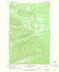
1966 · Whale Buttes
USGS Topo · 1:24,000
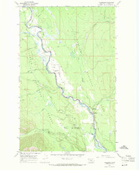
1966 · Polebridge
USGS Topo · 1:24,000
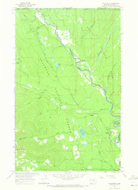
1966 · Trailcreek
USGS Topo · 1:24,000
1968 · Quartz Ridge
USGS Topo · 1:24,000