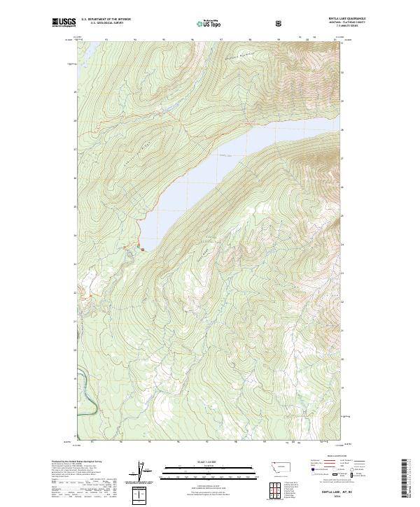
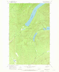
2024 Map of Kintla Lake
USGS Topo · Published 2024About this map
Kintla Lake lies at the heart of this high-elevation landscape within Glacier National Park, where the waters of Kintla Creek flow westward toward the North Fork Flathead River. The map reveals a network of historic backcountry routes, including the Boulder Pass Trl and Kintla Trl, which navigate the steep elevations of Starvation Ridge and Parke Ridge. These trails represent the primary human imprint on a terrain otherwise defined by the Boundary Mountains along the northern edge of the survey.
Find a feature on this map
29 named features on this map. Tap any name to fly to it.
Don’t see what you’re looking for? This feature index may not catch every label — zoom into the map to look around manually.
Map Details
Editions of this 2024 Kintla Lake Map
This is the sole edition of this map. No revisions or reprints were ever made.
Other maps of this area

1906 · Kintla Lakes
USGS Topo · 1:125,000

1938 · Kintla Lakes
USGS Topo · 1:125,000

1957 · Kalispell
USGS Topo · 1:250,000

1960 · Kalispell
USGS Topo · 1:250,000

1961 · Kalispell
USGS Topo · 1:250,000

1966 · Kintla Lake
USGS Topo · 1:24,000
1966 · Whale Buttes
USGS Topo · 1:24,000
1966 · Polebridge
USGS Topo · 1:24,000
1966 · Trailcreek
USGS Topo · 1:24,000
1968 · Quartz Ridge
USGS Topo · 1:24,000