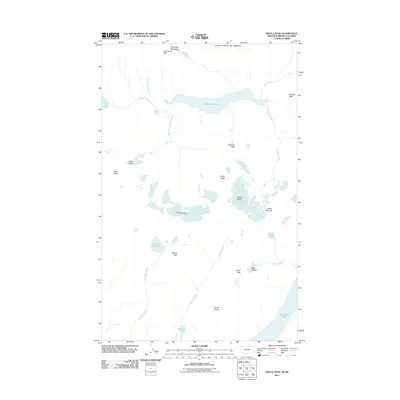
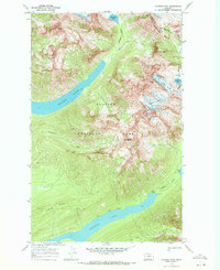
2011 Map of Kintla Peak
USGS Topo · Published 2011About this map
The Boundary Mountains define the northern limit of this high-altitude landscape along the international border of the United States of America. Dominated by ice and elevation, the area features a concentration of glacial systems including the Harris Glacier, Kintla Glacier, Agassiz Glacier, and the smaller Baby Glacier. These remnants of the last ice age feed a network of drainages such as Kintla Creek and Akokala Creek, which pool into significant water bodies like Upper Kintla Lake and the northern tip of Bowman Lake. The terrain is characterized by sharp summits and ridges, with Kintla Peak, Kinnerly Peak, and Reuter Peak serving as the primary landmarks. This 2011 survey documents a wilderness where water and ice are the primary architects of the land, showing the relationship between peaks like Mount Peabody and the alpine basins of Numa Lake and Long Bow Lake.
Find a feature on this map
28 named features on this map. Tap any name to fly to it.
Don’t see what you’re looking for? This feature index may not catch every label — zoom into the map to look around manually.
Map Details
Editions of this 2011 Kintla Peak Map
This is the sole edition of this map. No revisions or reprints were ever made.
Other maps of this area

1906 · Kintla Lakes
USGS Topo · 1:125,000

1938 · Kintla Lakes
USGS Topo · 1:125,000

1957 · Kalispell
USGS Topo · 1:250,000

1960 · Kalispell
USGS Topo · 1:250,000

1961 · Kalispell
USGS Topo · 1:250,000

1966 · Kintla Lake
USGS Topo · 1:24,000
1966 · Polebridge
USGS Topo · 1:24,000
1968 · Quartz Ridge
USGS Topo · 1:24,000
1968 · Kintla Peak
USGS Topo · 1:24,000
1968 · Vulture Peak
USGS Topo · 1:24,000