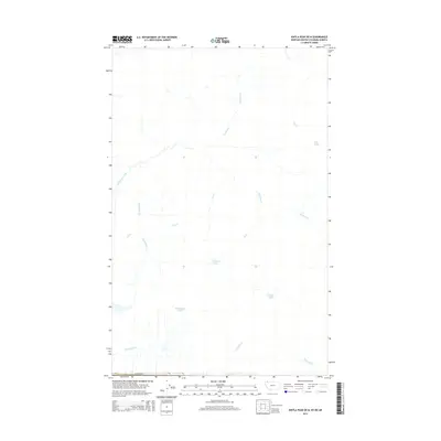
2014 Map of Kintla Peak OE N
USGS Topo · Published 2014About this map
Kishinena Creek and its many tributaries define this high-altitude landscape along the border of Montana and British Columbia. This Canada-United States boundary region is characterized by a dense network of watercourses, where creeks such as Beavertail Cr, Akamina Cr, and See Cr carve through the terrain. Small, isolated bodies of water are scattered throughout the area, including Lone Lake, Thomson Lake, and Ashman Lake. To the south, Starvation Lake sits near the headwaters of Starvation Cr, while the drainage of N Kintla Cr flows toward the map's southern edge. The cartography reflects a wilderness area devoid of major roads or settlements, highlighting the natural hydrology of the Upper Flathead region during the early 21st century.
Find a feature on this map
16 named features on this map. Tap any name to fly to it.
Don’t see what you’re looking for? This feature index may not catch every label — zoom into the map to look around manually.
Map Details
Editions of this 2014 Kintla Peak OE N Map
This is the sole edition of this map. No revisions or reprints were ever made.
Other maps of this area

1906 · Kintla Lakes
USGS Topo · 1:125,000

1938 · Kintla Lakes
USGS Topo · 1:125,000

1957 · Kalispell
USGS Topo · 1:250,000

1960 · Kalispell
USGS Topo · 1:250,000

1961 · Kalispell
USGS Topo · 1:250,000

1966 · Kintla Lake
USGS Topo · 1:24,000
1968 · Kintla Peak
USGS Topo · 1:24,000
1968 · Mount Carter
USGS Topo · 1:24,000
1981 · Whitefish Range
USGS Topo · 1:100,000
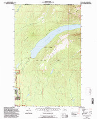
1994 · Kintla Lake
USGS Topo · 1:24,000