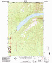
1994 Map of Kintla Lake
USGS Topo · Published 1997About this map
Glacier National Park defines the vast majority of this landscape, where the Canada United States border follows the Boundary Mountains. The topography is dominated by the long, narrow reach of Kintla Lake, which sits deep between Starvation Ridge and Parke Ridge. This mid-1990s survey by the U.S. Forest Service reflects a preserved wilderness environment, highlighting backcountry infrastructure like the Patrol Cabin and the Boulder Pass Trail. In the southwest corner, the Flathead Wild and Scenic River forms a critical corridor near Kintla Well. The map also captures the confluence of several high-altitude drainages, including Starvation Creek and Kishenehn Creek, illustrating the complex watershed along the international boundary before it joins the Flathead River.
Find a feature on this map
26 named features on this map. Tap any name to fly to it.
Don’t see what you’re looking for? This feature index may not catch every label — zoom into the map to look around manually.
Map Details
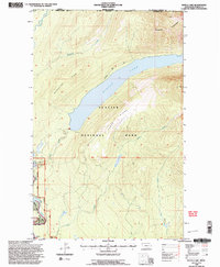
Editions of this 1994 Kintla Lake Map
2 editions found
Other maps of this area

1906 · Kintla Lakes
USGS Topo · 1:125,000

1938 · Kintla Lakes
USGS Topo · 1:125,000

1957 · Kalispell
USGS Topo · 1:250,000

1960 · Kalispell
USGS Topo · 1:250,000

1961 · Kalispell
USGS Topo · 1:250,000

1966 · Kintla Lake
USGS Topo · 1:24,000
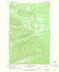
1966 · Whale Buttes
USGS Topo · 1:24,000
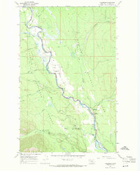
1966 · Polebridge
USGS Topo · 1:24,000
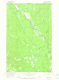
1966 · Trailcreek
USGS Topo · 1:24,000
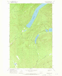
1968 · Quartz Ridge
USGS Topo · 1:24,000