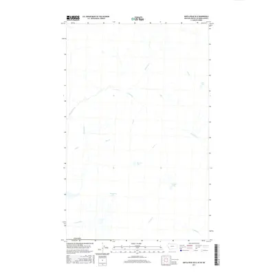
2017 Map of Kintla Peak OE N
USGS Topo · Published 2017About this map
The Canada border defines the northern limit of this 2017 survey, where high mountain drainages and isolated water bodies mark the landscape. A complex network of creeks, including the headwaters of Kishinena Creek and Akamina Cr, flows through this remote terrain. Several small, high-altitude lakes are dispersed throughout the region, most notably Thomson Lake, Ashman Lake, and Starvation Lake near the southern boundary.
Find a feature on this map
16 named features on this map. Tap any name to fly to it.
Don’t see what you’re looking for? This feature index may not catch every label — zoom into the map to look around manually.
Map Details
Editions of this 2017 Kintla Peak OE N Map
This is the sole edition of this map. No revisions or reprints were ever made.
Other maps of this area

1906 · Kintla Lakes
USGS Topo · 1:125,000

1938 · Kintla Lakes
USGS Topo · 1:125,000

1957 · Kalispell
USGS Topo · 1:250,000

1960 · Kalispell
USGS Topo · 1:250,000

1961 · Kalispell
USGS Topo · 1:250,000

1966 · Kintla Lake
USGS Topo · 1:24,000
1968 · Kintla Peak
USGS Topo · 1:24,000
1968 · Mount Carter
USGS Topo · 1:24,000
1981 · Whitefish Range
USGS Topo · 1:100,000
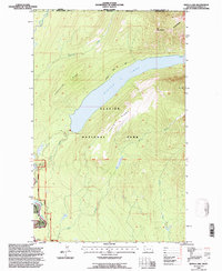
1994 · Kintla Lake
USGS Topo · 1:24,000