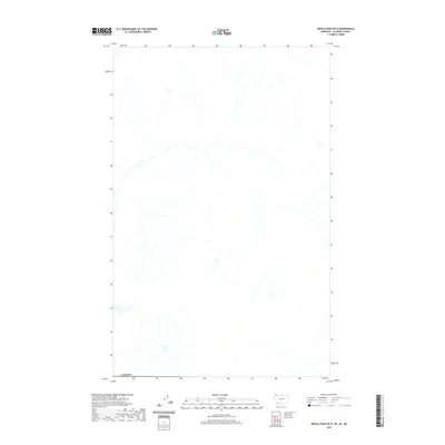
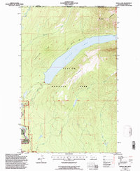
2020 Map of Kintla Peak OE N
USGS Topo · Published 2020About this map
The international boundary with Canada defines the southern edge of this 2020 topographic study, focusing on the high-elevation drainage patterns in the northern reaches above the border. Unlike many maps of this series, this sheet is notable for its focus on physical geography and natural hydrography rather than human settlement. The survey documents a complex network of unnamed tributaries and headwaters that form the upper reaches of the Flathead and Elk Valley regions. Without roads or established settlements printed on the sheet, the map serves as a pure record of the area's hydrology and landforms at the start of the 2020s, providing a baseline for researchers tracking environmental change or hydrological flow near the international line.
Find a feature on this map
1 named feature on this map. Tap any name to fly to it.
Don’t see what you’re looking for? This feature index may not catch every label — zoom into the map to look around manually.
Map Details
Editions of this 2020 Kintla Peak OE N Map
This is the sole edition of this map. No revisions or reprints were ever made.
Other maps of this area

1906 · Kintla Lakes
USGS Topo · 1:125,000

1938 · Kintla Lakes
USGS Topo · 1:125,000

1957 · Kalispell
USGS Topo · 1:250,000

1960 · Kalispell
USGS Topo · 1:250,000

1961 · Kalispell
USGS Topo · 1:250,000

1966 · Kintla Lake
USGS Topo · 1:24,000
1968 · Kintla Peak
USGS Topo · 1:24,000
1968 · Mount Carter
USGS Topo · 1:24,000
1981 · Whitefish Range
USGS Topo · 1:100,000
1994 · Kintla Lake
USGS Topo · 1:24,000