
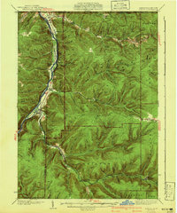
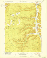
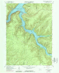
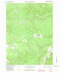
1941 Map of Kinzua
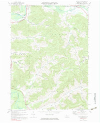
USGS Topo · Published 1941This historical map portrays the area of Kinzua in 1941, primarily covering McKean County as well as portions of New York. Featuring a scale of 1:62500, this map provides a highly detailed snapshot of the terrain, roads, buildings, counties, and historical landmarks in the Kinzua region at the time. Published in 1941, it is one of 3 known editions of this map due to revisions or reprints.
Find a feature on this map
73 named features on this map. Tap any name to fly to it.
Don’t see what you’re looking for? This feature index may not catch every label — zoom into the map to look around manually.
Map Details
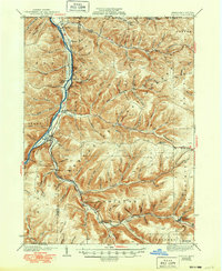
Editions of this 1941 Kinzua Map
3 editions found
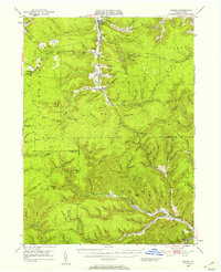
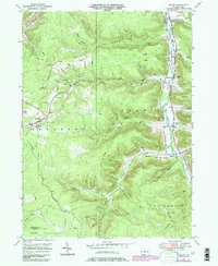
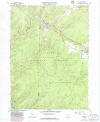
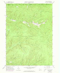
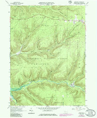
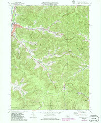
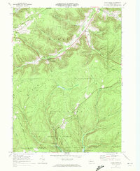
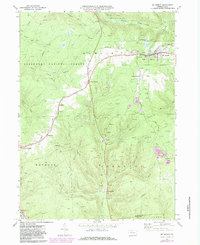
Historical Maps of Elk Township Through Time
17 maps found

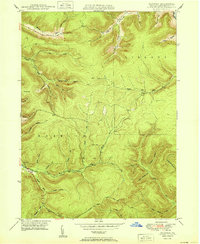
1936 Kinzua
McKean County, PA
1941 Kinzua
McKean County, PA
1948 Crosby
McKean County, PA
1948 Crosby
McKean County, PA
1948 Norwich
McKean County, PA
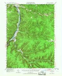
1949 Kinzua
McKean County, PA
1950 Crosby
McKean County, PA
1950 Norwich
McKean County, PA
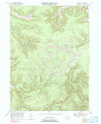
1966 Cornplanter Bridge
McKean County, PA
1966 Ludlow
McKean County, PA
1966 Stickney
McKean County, PA
1966 Westline
McKean County, PA
1969 Cyclone
McKean County, PA
1969 Derrick City
McKean County, PA
1969 Hazel Hurst
McKean County, PA
1969 Mt. Jewett
McKean County, PA
1970 Bullis Mills
McKean County, PA