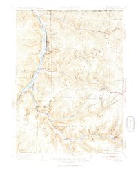
1949 Map of Kinzua
USGS Topo · Published 1954About this map
The Allegheny River valley defines this mid-century landscape on the border of Pennsylvania and New York, where riverfront settlements like Corydon and Kinzua were still central to the region's geography. A significant portion of the river's western bank is occupied by the Cornplanter Indian Reservation, illustrating the long-standing Indigenous presence in the valley. The map reveals a transition between small riverside hamlets and the heavily wooded interior of the Allegheny plateau, where numerous hollows and runs, such as Kinzua Creek and Chappel Fork, drain the upland terrain.
Find a feature on this map
101 named features on this map. Tap any name to fly to it.
Don’t see what you’re looking for? This feature index may not catch every label — zoom into the map to look around manually.
Map Details
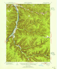
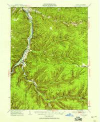
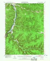
Editions of this 1949 Kinzua Map
4 editions found
Other maps of this area

1900 · Salamanca
USGS Topo · 1:62,500

1905 · Jamestown
USGS Topo · 1:62,500

1906 · Warren
USGS Topo · 1:62,500

1907 · Warren
USGS Topo · 1:62,500

1908 · Warren
USGS Topo · 1:62,500

1922 · Randolph
USGS Topo · 1:62,500

1923 · Randolph
USGS Topo · 1:62,500

1924 · Bradford
USGS Topo · 1:62,500

1926 · Bradford
USGS Topo · 1:62,500

1934 · Kane
USGS Topo · 1:48,000