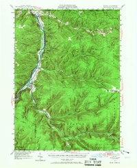
1949 Map of Kinzua
USGS Topo · Published 1967About this map
The Cornplanter Indian Reservation occupies a significant stretch of the Allegheny River valley in this mid-century survey of the Pennsylvania-New York border. This landscape depicts the region before the completion of the Kinzua Dam, preserving the original footprints of settlements like Kinzua and Corydon along the riverbanks. The map documents a rugged interior of deep hollows and winding runs, where the local economy and movement were defined by the water and early road networks like Pennsylvania 59.
Find a feature on this map
103 named features on this map. Tap any name to fly to it.
Don’t see what you’re looking for? This feature index may not catch every label — zoom into the map to look around manually.
Map Details
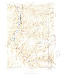
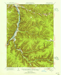
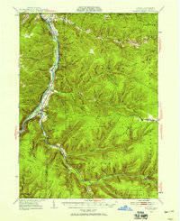
Editions of this 1949 Kinzua Map
4 editions found
Other maps of this area

1900 · Salamanca
USGS Topo · 1:62,500

1905 · Jamestown
USGS Topo · 1:62,500

1906 · Warren
USGS Topo · 1:62,500

1907 · Warren
USGS Topo · 1:62,500

1908 · Warren
USGS Topo · 1:62,500

1922 · Randolph
USGS Topo · 1:62,500

1923 · Randolph
USGS Topo · 1:62,500

1924 · Bradford
USGS Topo · 1:62,500

1926 · Bradford
USGS Topo · 1:62,500

1934 · Kane
USGS Topo · 1:48,000