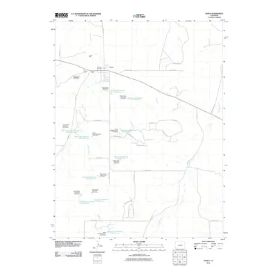
2010 Map of Kiowa
USGS Topo · Published 2010About this map
Kiowa serves as the primary hub of activity in this part of Elbert County, characterized by a complex network of water management features and a history of local mining. North of the town center, the Wagner Mine, Dawson Mine, and Buffalo Mine highlight the area's geological industry. The landscape is defined by the drainage of Kiowa Creek and Wolf Creek, where numerous small-scale reservoirs and dams like the Kiowa Creek Watershed 3-A-40 Reservoir manage the local water table. To the west, the Hungate Memorial marks a specific historical site near the Kiowa Bennett Rd junction. Transportation is facilitated by a grid of county roads and developing residential paths such as Forest Ridge Dr and Pine Valley Ln, reflecting the transition from open range and mining to more modern rural-residential use.
Find a feature on this map
51 named features on this map. Tap any name to fly to it.
Don’t see what you’re looking for? This feature index may not catch every label — zoom into the map to look around manually.
Map Details
Editions of this 2010 Kiowa Map
This is the sole edition of this map. No revisions or reprints were ever made.
Other maps of this area

1894 · Castle Rock
USGS Topo · 1:125,000

1913 · Castle Rock
USGS Topo · 1:125,000

1939 · Elizabeth
USGS Topo · 1:62,500

1940 · Elbert
USGS Topo · 1:62,500

1944 · Elbert
USGS Topo · 1:62,500

1945 · Elizabeth
USGS Topo · 1:62,500

1953 · Denver
USGS Topo · 1:250,000

1957 · Denver
USGS Topo · 1:250,000

1958 · Denver
USGS Topo · 1:250,000

1960 · Denver
USGS Topo · 1:250,000