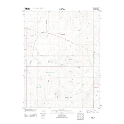
2013 Map of Kiowa
USGS Topo · Published 2013About this map
Kiowa serves as the focal point of this Eastern Plains landscape, situated where the high prairie begins its transition toward the foothills. The town's grid, defined by streets like Comanche St and Pawnee St, is nestled along the banks of Kiowa Creek. A notable local landmark is the Hungate Memorial, marking a site of significant regional history just west of the main settlement.
Find a feature on this map
44 named features on this map. Tap any name to fly to it.
Don’t see what you’re looking for? This feature index may not catch every label — zoom into the map to look around manually.
Map Details
Editions of this 2013 Kiowa Map
This is the sole edition of this map. No revisions or reprints were ever made.
Other maps of this area

1894 · Castle Rock
USGS Topo · 1:125,000

1913 · Castle Rock
USGS Topo · 1:125,000

1939 · Elizabeth
USGS Topo · 1:62,500

1940 · Elbert
USGS Topo · 1:62,500

1944 · Elbert
USGS Topo · 1:62,500

1945 · Elizabeth
USGS Topo · 1:62,500

1953 · Denver
USGS Topo · 1:250,000

1957 · Denver
USGS Topo · 1:250,000

1958 · Denver
USGS Topo · 1:250,000

1960 · Denver
USGS Topo · 1:250,000