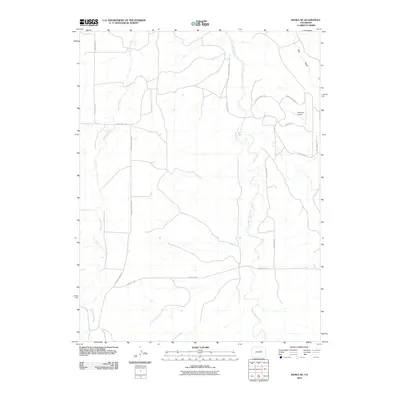
2010 Map of Kiowa NE
USGS Topo · Published 2010About this map
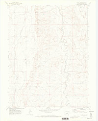
West Bijou Creek and Comanche Creek define the drainage patterns of this high-plains landscape in Elbert County. The 2010 geography reveals a modern rural residential pattern east of the creek, where an enclave of streets with distinctive names like Way of Peace, Way of Gentleness, and Way of Joy creates a unique subdivision layout. Central to this development is the Chaparral Airport, which serves as a notable landmark in an otherwise agricultural and ranching-oriented area. While much of the terrain is dissected by seasonal watercourses like East Gulch, the map captures the transition of the Colorado plains into more structured rural living, anchored by a network of county roads including Comanche Creek Rd and County Rd-150.
Find a feature on this map
15 named features on this map. Tap any name to fly to it.
Don’t see what you’re looking for? This feature index may not catch every label — zoom into the map to look around manually.
Map Details
Editions of this 2010 Kiowa NE Map
This is the sole edition of this map. No revisions or reprints were ever made.
Other maps of this area

1953 · Denver
USGS Topo · 1:250,000

1957 · Denver
USGS Topo · 1:250,000

1958 · Denver
USGS Topo · 1:250,000

1960 · Denver
USGS Topo · 1:250,000
1961 · Strasburg SW
USGS Topo · 1:24,000
1969 · Strasburg SE
USGS Topo · 1:24,000
1969 · Byers SW
USGS Topo · 1:24,000
1970 · Kiowa NE
USGS Topo · 1:24,000

1970 · Big Gulch
USGS Topo · 1:24,000
1970 · Kiowa NW
USGS Topo · 1:24,000