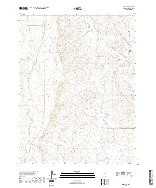
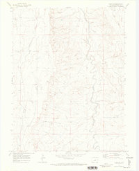
2022 Map of Kiowa NE
USGS Topo · Published 2022About this map
W Bijou Cr and Comanche Cr carve through this section of the Colorado High Plains, defining the drainage patterns of a largely rural landscape. The map reveals a transition from traditional ranching lands toward more residential development, evidenced by the uniquely named network of private roads including Way of Patience, Way of Joy, and Way of Goodness in the northeastern quadrant. Modern infrastructure is anchored by the Chaparral Airport, providing a small aviation footprint amidst the vast open sections and rolling terrain. Survey lines for t7s r62w and t7s r61w organize the landscape into a clear grid, punctuated by landmarks like Fiddleback Ranch Rd and East Gulch.
Find a feature on this map
25 named features on this map. Tap any name to fly to it.
Don’t see what you’re looking for? This feature index may not catch every label — zoom into the map to look around manually.
Map Details
Editions of this 2022 Kiowa NE Map
This is the sole edition of this map. No revisions or reprints were ever made.
Other maps of this area

1953 · Denver
USGS Topo · 1:250,000

1957 · Denver
USGS Topo · 1:250,000

1958 · Denver
USGS Topo · 1:250,000

1960 · Denver
USGS Topo · 1:250,000
1961 · Strasburg SW
USGS Topo · 1:24,000
1969 · Strasburg SE
USGS Topo · 1:24,000
1969 · Byers SW
USGS Topo · 1:24,000
1970 · Kiowa NE
USGS Topo · 1:24,000

1970 · Big Gulch
USGS Topo · 1:24,000
1970 · Kiowa NW
USGS Topo · 1:24,000