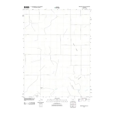
2010 Map of Kirchnavy Butte
USGS Topo · Published 2010About this map
Kirchnavy Butte rises as a prominent landmark in this high plains landscape of Logan County, defining the drainage patterns of the eastern Colorado tabletop. The terrain is dominated by the broad expanse of Peetz Table, which transitions into a network of drainages including Darby Creek and Martin Canyon. Water sources are sparse but notable, with named locations such as Dead Man Spring and Willow Spring providing essential points of interest in an otherwise arid environment. The map details a rectilinear grid of local roads, such as County Rd-78 and County Rd-31, which serve the agricultural and ranching operations of the area. Curious place names like Molly and Mable and geologic features like Flat Top Butte suggest a landscape shaped by both natural erosion and local heritage.
Find a feature on this map
24 named features on this map. Tap any name to fly to it.
Don’t see what you’re looking for? This feature index may not catch every label — zoom into the map to look around manually.
Map Details
Editions of this 2010 Kirchnavy Butte Map
This is the sole edition of this map. No revisions or reprints were ever made.
Other maps of this area

1951 · Padroni NW
USGS Topo · 1:24,000

1952 · Padroni
USGS Topo · 1:24,000

1954 · Sterling
USGS Topo · 1:250,000

1954 · Scottsbluff
USGS Topo · 1:250,000

1958 · Scottsbluff
USGS Topo · 1:250,000

1958 · Sterling
USGS Topo · 1:250,000

1972 · Easterly Airport
USGS Topo · 1:24,000

1972 · Potter SW
USGS Topo · 1:24,000

1972 · Potter SE
USGS Topo · 1:24,000
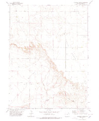
1978 · Kirchnavy Butte
USGS Topo · 1:24,000