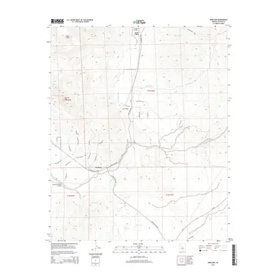
2014 Map of Kirkland
USGS Topo · Published 2014About this map
Skull Valley and the neighboring settlement of Kirkland anchor this high-desert landscape in Yavapai County, where the topography transitions from the steep drainage of Coughran Canyon into the broader plains of the Lower Kirkland Valley. The area is defined by a complex network of seasonal watercourses, including Skull Valley Wash and Finch Wash, which historically dictated the placement of ranch roads and small communities. Water management is evident through features like Middle Tank and Elmer Tank, essential landmarks in this arid environment.
Find a feature on this map
41 named features on this map. Tap any name to fly to it.
Don’t see what you’re looking for? This feature index may not catch every label — zoom into the map to look around manually.
Map Details
Editions of this 2014 Kirkland Map
This is the sole edition of this map. No revisions or reprints were ever made.
Other maps of this area

1887 · Prescott
USGS Topo · 1:250,000

1892 · Prescott
USGS Topo · 1:250,000

1903 · Congress
USGS Topo · 1:125,000

1904 · Congress
USGS Topo · 1:125,000

1947 · Iron Springs
USGS Topo · 1:62,500

1947 · Kirkland
USGS Topo · 1:62,500

1947 · Sheridan Mountain
USGS Topo · 1:62,500

1948 · Sheridan Mountain
USGS Topo · 1:63,360

1948 · Iron Springs
USGS Topo · 1:63,360

1948 · Kirkland
USGS Topo · 1:63,360