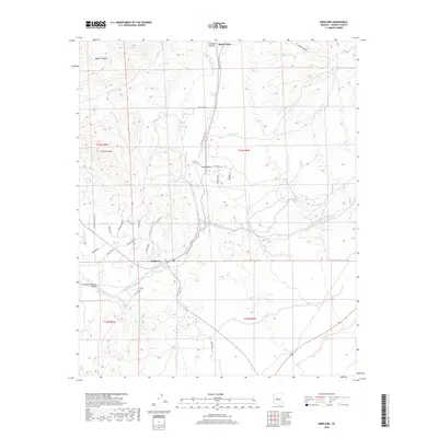
2018 Map of Kirkland
USGS Topo · Published 2018About this map
Skull Valley and Kirkland serve as the primary anchors of this high-desert landscape in central Arizona. The area is defined by a series of drainage networks, most notably Skull Valley Wash and Kirkland Creek, which carve through the terrain between prominent landmarks like Kirkland Peak. This 2018 survey reveals a rural settlement pattern where modern ranching and residential needs have generated a dense web of locally named roads, including Loose Cow Rd, Rifle Rd, and Cattle Call Rd. North of the main settlement of Kirkland, the map details numerous canyons and washes such as Dipper Canyon and Finch Wash, alongside vital water management features like Middle Tank and Elmer Tank. The presence of Lower Kirkland Valley at the western edge suggests the geographic transition as these desert waterways move toward larger basins.
Find a feature on this map
38 named features on this map. Tap any name to fly to it.
Don’t see what you’re looking for? This feature index may not catch every label — zoom into the map to look around manually.
Map Details
Editions of this 2018 Kirkland Map
This is the sole edition of this map. No revisions or reprints were ever made.
Other maps of this area

1887 · Prescott
USGS Topo · 1:250,000

1892 · Prescott
USGS Topo · 1:250,000

1903 · Congress
USGS Topo · 1:125,000

1904 · Congress
USGS Topo · 1:125,000

1947 · Iron Springs
USGS Topo · 1:62,500

1947 · Kirkland
USGS Topo · 1:62,500

1947 · Sheridan Mountain
USGS Topo · 1:62,500

1948 · Sheridan Mountain
USGS Topo · 1:63,360

1948 · Iron Springs
USGS Topo · 1:63,360

1948 · Kirkland
USGS Topo · 1:63,360