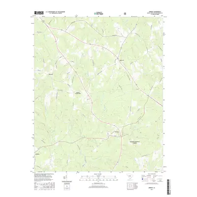
2017 Map of Kirksey
USGS Topo · Published 2017About this map
The rural landscape of Greenwood County is defined by its network of crossroads settlements and small drainage basins. Gaines Crossroads and Kirksey serve as central nodes for a web of local roads, such as Scotts Ferry Rd and Gaines Store Rd, that navigate the undulating terrain between creek beds. The southern portion of the area is heavily influenced by the presence of the Sumter National Forest, where the land is carved by the headwaters of Catholic Br and Horsepen Cr.
Find a feature on this map
62 named features on this map. Tap any name to fly to it.
Don’t see what you’re looking for? This feature index may not catch every label — zoom into the map to look around manually.
Map Details
Editions of this 2017 Kirksey Map
This is the sole edition of this map. No revisions or reprints were ever made.
Other maps of this area

1892 · Mc Cormick
USGS Topo · 1:125,000

1892 · Abbeville
USGS Topo · 1:125,000

1908 · Kirksey
USGS Topo · 1:24,000

1912 · Mc Cormick
USGS Topo · 1:125,000

1941 · Spartanburg
USGS Topo · 1:250,000

1949 · Ninety-Six
USGS Topo · 1:24,000

1949 · Greenwood
USGS Topo · 1:24,000

1950 · Bradley
USGS Topo · 1:24,000

1950 · Kirksey
USGS Topo · 1:24,000

1953 · Athens
USGS Topo · 1:250,000