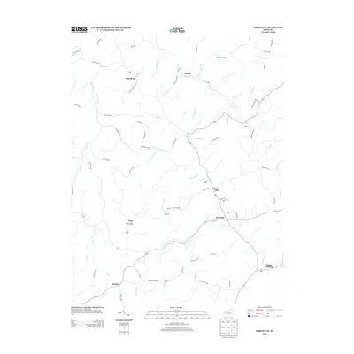
2013 Map of Kirksville
USGS Topo · Published 2013About this map
Kirksville and Cottonburg serve as primary anchors for this rural landscape in Madison County, where the terrain is defined by the winding paths of Silver Cr and Paint Lick Cr. The settlement pattern reflects a long history of ridge-and-valley living, with Nina Ridge overlooking the western portion of the map and Crow Valley tucked into the northern reaches. Small communities like Ruthton, Round Hill, and Nina are linked by a network of historic routes including Bogie Mill Rd and Hagan Mill Rd, indicating the importance of local milling and agriculture. The landscape is deeply incised by numerous smaller drainages such as Dog Walk Br, Schoolers Br, and Gilead Br, which have shaped the local road placements and property boundaries. Genealogists and historians can trace the family-named landmarks and small clusters that have persisted through the modern era, from the southern hamlet of Hackley to the eastern edge of Happy Landing.
Find a feature on this map
79 named features on this map. Tap any name to fly to it.
Don’t see what you’re looking for? This feature index may not catch every label — zoom into the map to look around manually.
Map Details
Editions of this 2013 Kirksville Map
This is the sole edition of this map. No revisions or reprints were ever made.
Other maps of this area

1892 · Richmond
USGS Topo · 1:125,000

1897 · Richmond
USGS Topo · 1:125,000

1905 · Harrodsburg
USGS Topo · 1:125,000

1952 · Berea
USGS Topo · 1:24,000

1952 · Valley View
USGS Topo · 1:24,000

1952 · Little Hickman
USGS Topo · 1:24,000

1952 · Buckeye
USGS Topo · 1:24,000

1952 · Paint Lick
USGS Topo · 1:24,000

1952 · Lancaster
USGS Topo · 1:24,000

1952 · Kirksville
USGS Topo · 1:24,000