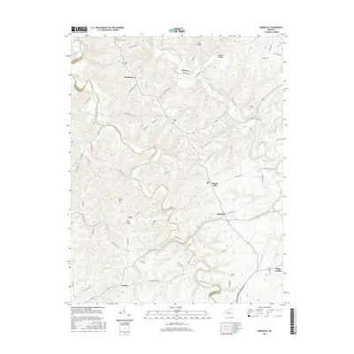
2016 Map of Kirksville
USGS Topo · Published 2016About this map
Paint Lick Creek carves a winding path along the border between Madison and Garrard counties, defining the lower portion of this topographic survey. The area is characterized by a dense network of upland ridges and valleys, including Nina Ridge and Jolly Ridge, which support small rural settlements such as Cottonburg, Kirksville, and Nina. This 21st-century map reveals a landscape heavily dotted with family and community burial grounds, illustrating the deep genealogical roots of the region through sites like Poosey Cem, Gilead Cem, and Sebastian Cem. The creek systems, including Silver Creek and its many branches like Moberlys Br and Ball Br, emphasize the intricate drainage patterns that have historically dictated road placement and property lines in this part of Kentucky.
Find a feature on this map
76 named features on this map. Tap any name to fly to it.
Don’t see what you’re looking for? This feature index may not catch every label — zoom into the map to look around manually.
Map Details
Editions of this 2016 Kirksville Map
This is the sole edition of this map. No revisions or reprints were ever made.
Other maps of this area

1892 · Richmond
USGS Topo · 1:125,000

1897 · Richmond
USGS Topo · 1:125,000

1905 · Harrodsburg
USGS Topo · 1:125,000

1952 · Berea
USGS Topo · 1:24,000

1952 · Valley View
USGS Topo · 1:24,000

1952 · Little Hickman
USGS Topo · 1:24,000

1952 · Buckeye
USGS Topo · 1:24,000

1952 · Paint Lick
USGS Topo · 1:24,000

1952 · Lancaster
USGS Topo · 1:24,000

1952 · Kirksville
USGS Topo · 1:24,000