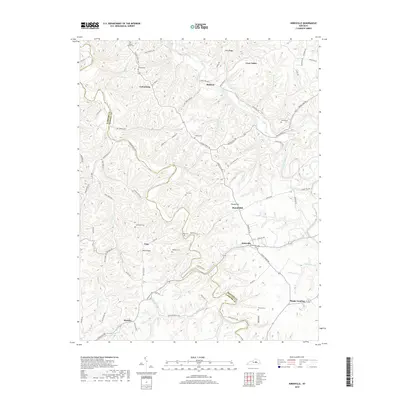
2019 Map of Kirksville
USGS Topo · Published 2019About this map
Silver Creek and Paint Lick Creek wind through this part of Madison and Garrard counties, defining a landscape of deeply incised ridges and narrow stream valleys. The settlement of Kirksville stands at a central crossroads, while smaller hamlets like Cottonburg, Nina, and the aptly named Happy Landing dot the surrounding countryside. This 2019 survey documents a rural Kentucky topography where family names are permanently etched into the land, seen in landmarks like Jolly Ridge, Crow Valley, and Nina Ridge.
Find a feature on this map
90 named features on this map. Tap any name to fly to it.
Don’t see what you’re looking for? This feature index may not catch every label — zoom into the map to look around manually.
Map Details
Editions of this 2019 Kirksville Map
This is the sole edition of this map. No revisions or reprints were ever made.
Other maps of this area

1892 · Richmond
USGS Topo · 1:125,000

1897 · Richmond
USGS Topo · 1:125,000

1905 · Harrodsburg
USGS Topo · 1:125,000

1952 · Berea
USGS Topo · 1:24,000

1952 · Valley View
USGS Topo · 1:24,000

1952 · Little Hickman
USGS Topo · 1:24,000

1952 · Buckeye
USGS Topo · 1:24,000

1952 · Paint Lick
USGS Topo · 1:24,000

1952 · Lancaster
USGS Topo · 1:24,000

1952 · Kirksville
USGS Topo · 1:24,000