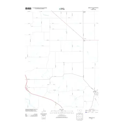
2013 Map of Kirkville
USGS Topo · Published 2013About this map
Kirkville stands as the primary settlement in this portion of Mahaska and Wapello counties, situated near the southern edge of the survey. The town's grid is oriented toward the winding course of the Des Moines River, which cuts through the southwest corner of the map. Northward, the landscape is defined by agricultural section lines and an extensive drainage network, where Cedar Cr and Brown Cr meander through the prairie. Smaller hamlets like Cedar and Wright are found along the northern and eastern reaches, connected by a network of rural roads such as Rutledge Ave and 285th St. This 2013 survey illustrates the enduring rural character of the region, where modern highway routes like 63 and 23 intersect the older township road system, highlighting the transition between established riverside communities and the surrounding farmland.
Find a feature on this map
58 named features on this map. Tap any name to fly to it.
Don’t see what you’re looking for? This feature index may not catch every label — zoom into the map to look around manually.
Map Details
Editions of this 2013 Kirkville Map
This is the sole edition of this map. No revisions or reprints were ever made.
Other maps of this area

1954 · Des Moines
USGS Topo · 1:250,000

1956 · Des Moines
USGS Topo · 1:250,000

1956 · Ottumwa North
USGS Topo · 1:62,500

1956 · Ottumwa North
USGS Topo · 1:24,000

1957 · Des Moines
USGS Topo · 1:250,000

1965 · Rose Hill
USGS Topo · 1:24,000

1968 · University Park
USGS Topo · 1:24,000

1968 · Oskaloosa
USGS Topo · 1:24,000

1968 · Kirkville
USGS Topo · 1:24,000

1968 · Eddyville
USGS Topo · 1:24,000