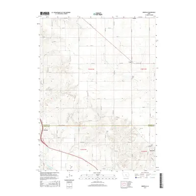
2015 Map of Kirkville
USGS Topo · Published 2015About this map
The Des Moines River cuts through the southwestern corner of this landscape, anchoring a region defined by its intersection of water and rural settlements. On the boundary between Mahaska and Wapello counties, Eddyville and Kirkville serve as local hubs, while smaller crossroads like Cedar and Wright mark the northern reaches of the survey. The terrain is deeply carved by numerous tributaries, including Little Muchakinock Creek and Cedar Creek, creating a network of drainage that likely influenced the placement of early homesteads.
Find a feature on this map
42 named features on this map. Tap any name to fly to it.
Don’t see what you’re looking for? This feature index may not catch every label — zoom into the map to look around manually.
Map Details
Editions of this 2015 Kirkville Map
This is the sole edition of this map. No revisions or reprints were ever made.
Other maps of this area

1954 · Des Moines
USGS Topo · 1:250,000

1956 · Des Moines
USGS Topo · 1:250,000

1956 · Ottumwa North
USGS Topo · 1:62,500

1956 · Ottumwa North
USGS Topo · 1:24,000

1957 · Des Moines
USGS Topo · 1:250,000

1965 · Rose Hill
USGS Topo · 1:24,000

1968 · University Park
USGS Topo · 1:24,000

1968 · Oskaloosa
USGS Topo · 1:24,000

1968 · Kirkville
USGS Topo · 1:24,000

1968 · Eddyville
USGS Topo · 1:24,000