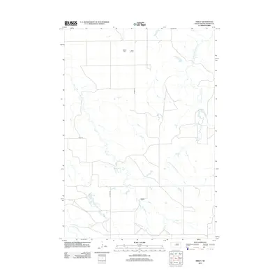
2012 Map of Kirley
USGS Topo · Published 2012About this map
Kirley serves as the central focal point of this rural Haakon County landscape, situated near the headwaters of Deep Cr. The area is characterized by a sparse network of roads, including Kirley Rd and Ottumwa Rd, which navigate the open terrain of Robbs Flat. This plateau-like feature is home to the Robbs Flat Cem, a significant site for local genealogical research and historical burial records. The hydrology of the region is defined by a series of intermittent drainage systems, most notably the W Fork Hermaphrodite Cr in the eastern portion and E Fork Plum Cr along the southern edge. The distribution of these watercourses and the naming of features like Robbs Flat indicate a landscape dominated by ranching and traditional prairie land use patterns into the early 21st century.
Find a feature on this map
8 named features on this map. Tap any name to fly to it.
Don’t see what you’re looking for? This feature index may not catch every label — zoom into the map to look around manually.
Map Details
Editions of this 2012 Kirley Map
This is the sole edition of this map. No revisions or reprints were ever made.
Other maps of this area

1954 · Pierre
USGS Topo · 1:250,000

1956 · Kirley
USGS Topo · 1:24,000

1956 · Cherry Creek NW
USGS Topo · 1:24,000

1956 · Carlin Flat
USGS Topo · 1:24,000

1956 · Alleman Station
USGS Topo · 1:24,000

1956 · Cherry Creek
USGS Topo · 1:24,000

1958 · Pierre
USGS Topo · 1:250,000

1982 · Whiteman Ranch
USGS Topo · 1:24,000

1983 · Bentley Ranch
USGS Topo · 1:24,000

1983 · Philip
USGS Topo · 1:100,000