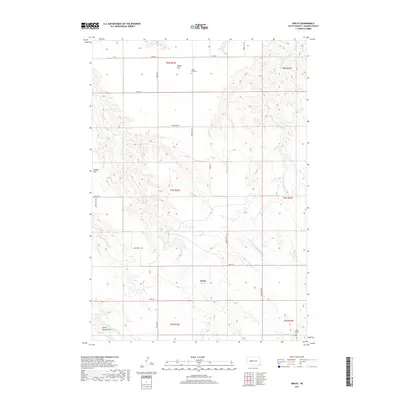
2017 Map of Kirley
USGS Topo · Published 2017About this map
Kirley serves as a central point in this Haakon County landscape, situated where the high plains meet a network of descending drainages. The area is characterized by distinct topographic transitions between elevated plateaus and creek valleys, such as the rise from Deep Cr to the broad expanse of Maupin Flat. These flatlands provided vital space for early 20th-century settlement in an otherwise dissected terrain. Evidence of the community's genealogy and enduring presence is found at the Robbs Flat Cem near Robbs Flat and the Deep Creek Cem further south.
Find a feature on this map
26 named features on this map. Tap any name to fly to it.
Don’t see what you’re looking for? This feature index may not catch every label — zoom into the map to look around manually.
Map Details
Editions of this 2017 Kirley Map
This is the sole edition of this map. No revisions or reprints were ever made.
Other maps of this area

1954 · Pierre
USGS Topo · 1:250,000

1956 · Kirley
USGS Topo · 1:24,000

1956 · Cherry Creek NW
USGS Topo · 1:24,000

1956 · Carlin Flat
USGS Topo · 1:24,000

1956 · Alleman Station
USGS Topo · 1:24,000

1956 · Cherry Creek
USGS Topo · 1:24,000

1958 · Pierre
USGS Topo · 1:250,000

1982 · Whiteman Ranch
USGS Topo · 1:24,000

1983 · Bentley Ranch
USGS Topo · 1:24,000

1983 · Philip
USGS Topo · 1:100,000