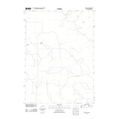
2012 Map of Kirtley
USGS Topo · Published 2012About this map
Pleasant Ridge Pioneer Cem stands as a quiet marker of early settlement history in this high-plains landscape near the Nebraska-Wyoming border. This 2012 survey by the U.S. Geological Survey captures a sparsely populated region defined by its drainage systems and ranch roads. The tiny settlement of Kirtley serves as a local point of reference, while the terrain is shaped by the headwaters of numerous creeks including Van Tassell Cr and S Antelope Cr. To the northeast, the elevation rises toward Turner Peak, overlooking a network of unpaved corridors such as Klondike Rd and Whitman Rd. The intricate map of small watercourses like Dirty Jim Cr and W Squaw Cr highlights the hydrological character of the Bowen Precinct, providing essential detail for understanding the land use and topography of this western Sioux County frontier.
Find a feature on this map
15 named features on this map. Tap any name to fly to it.
Don’t see what you’re looking for? This feature index may not catch every label — zoom into the map to look around manually.
Map Details
Editions of this 2012 Kirtley Map
This is the sole edition of this map. No revisions or reprints were ever made.
Other maps of this area

1954 · Torrington
USGS Topo · 1:250,000

1955 · Alliance
USGS Topo · 1:250,000

1957 · Alliance
USGS Topo · 1:250,000

1958 · Torrington
USGS Topo · 1:250,000

1958 · Alliance
USGS Topo · 1:250,000

1974 · Mc Master Reservoir
USGS Topo · 1:24,000

1977 · Van Tassell
USGS Topo · 1:24,000

1978 · Shepherds Point
USGS Topo · 1:24,000

1978 · Kirtley SW
USGS Topo · 1:24,000

1978 · Harrison West
USGS Topo · 1:24,000