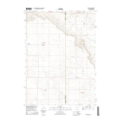
2015 Map of Kirtley
USGS Topo · Published 2015About this map
Pleasant Ridge Pioneer Cem stands as a quiet reminder of early settlement on the high plains where the border of Wyoming and Nebraska meets. The landscape is defined by the high elevations of Turner Peak and a series of drainage systems including Van Tassell Cr and Squaw Cr. The area around Kirtley is traversed by rugged thoroughfares like Hat Creek Rd and Klondike Rd, reflecting the remote ranching and agricultural character of Sioux County. This modern survey illustrates how long-established land divisions and property lines persist across the state line, with local history preserved in the names of family-named watercourses like Dirty Jim Cr and Jim Cr. The layout of the roads follows the natural contours of the terrain, providing a clear view of the rural infrastructure in this borderland region.
Find a feature on this map
24 named features on this map. Tap any name to fly to it.
Don’t see what you’re looking for? This feature index may not catch every label — zoom into the map to look around manually.
Map Details
Editions of this 2015 Kirtley Map
This is the sole edition of this map. No revisions or reprints were ever made.
Other maps of this area

1954 · Torrington
USGS Topo · 1:250,000

1955 · Alliance
USGS Topo · 1:250,000

1957 · Alliance
USGS Topo · 1:250,000

1958 · Torrington
USGS Topo · 1:250,000

1958 · Alliance
USGS Topo · 1:250,000

1974 · Mc Master Reservoir
USGS Topo · 1:24,000

1977 · Van Tassell
USGS Topo · 1:24,000

1978 · Shepherds Point
USGS Topo · 1:24,000

1978 · Kirtley SW
USGS Topo · 1:24,000

1978 · Harrison West
USGS Topo · 1:24,000